The Volcano of Santa Ana, at 2.381 meters, is the highest mountain in El Salvador. We were going to climb to its top on the previous day. But that didn’t work out as planned…
The thing is that, despite it being reachable via a very short and easy hike, the local authorities compel all hikers to join a guided tour. To further complicate the matter, there is only one such tour leaving every morning from the national park entrance.
We had read online that this is due to start at 11:30 am. So we judged that we’d be on time if we leave Santa Ana city by 9 am—just after Sophie finished her working shift that morning. We walked down to the place whence the public buses to the volcano depart (coordinates: 13.9913, -89.5646). But upon arriving on the spot, a guard informed us that, in fact, the tour starts at 10 am, which would be past long before we’d manage to get there.
So, using that day for another trip to Coatepeque Lake instead, we decided to postpone our ascent to Santa Ana Volcano for the next day…
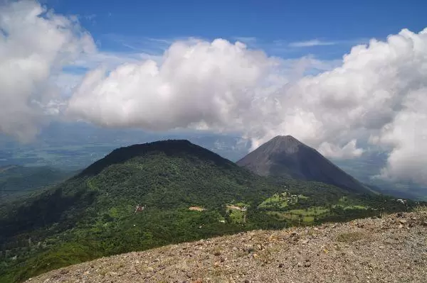
That was the day we rented a car and set out for our Ruta de las Flores road trip. The volcano was conveniently on the way. We deemed an hour and a half to be sufficient to drive there and were on the road at 8:30 am.
If you are going to drive to Santa Ana Volcano yourself, make sure you follow the road going around Coatepeque Lake via the town of El Congo. Do not be tempted to take the seemingly shorter route going straight south from Santa Ana city—especially if you’re using Maps.me navigation. That’s exactly what we did and wasted a good deal of time until we found out that this is a shitty dirt road; hardly passable by even a 4×4, let alone our poor little Kia sedan.
I had to turn around and accelerate decisively to make it just in time for the tour via the normal route—or for the tour’s supposed starting time to be precise. It turned out the guard yesterday was again wrong and the tour had actually left at 9 am. Crap!
Affiliation disclosure: By purchasing goods or services via the links contained in this post, I may be earning a small commission from the seller's profit, without you being charged any extra penny. You will be thus greatly helping me to maintain and keep enriching this website. Thanks!
Whatever… We had come all the way there and a try to hike up the volcano on our own wouldn’t harm. We parked by the trailhead—located beside a lodge by the name El Tibet (coordinates: 13.8354, -89.6231)—and set about preparing.
That’s when a young local dude noticed us, approached, and inquired about our intention. He said there was no chance we’d be let past the gate without a guide and proposed we take him as a guide. He already had another two travelers. So we could share the $35 cost of his private tour divided by four. I found this a high price for this short hike, but in lack of better options…
According to what we’d read online, the cost of the guide for the official tour should have been $1 per person. An info board on the spot said that it’d be $3. We ended up paying $8.75. Anyway… the guide was a nice guy and made for pleasant company.
The total length of the trail to the crater rim was 3.3 km with a gain of 460 meters. After about half a km, we made it to the gate. Armed guards and drinks vendors were present. We had to pay an additional $6 each for the entry fee to the national park.
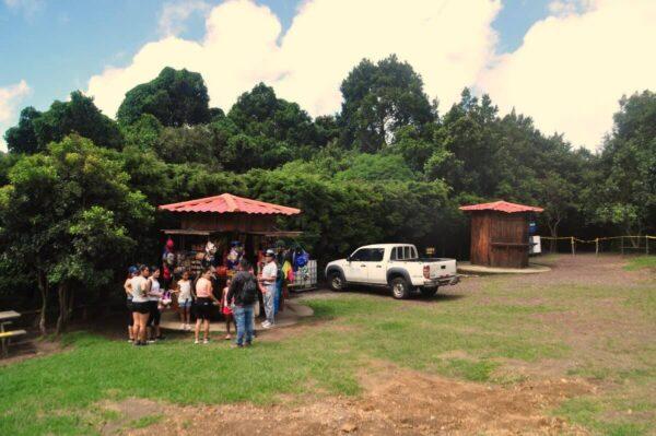
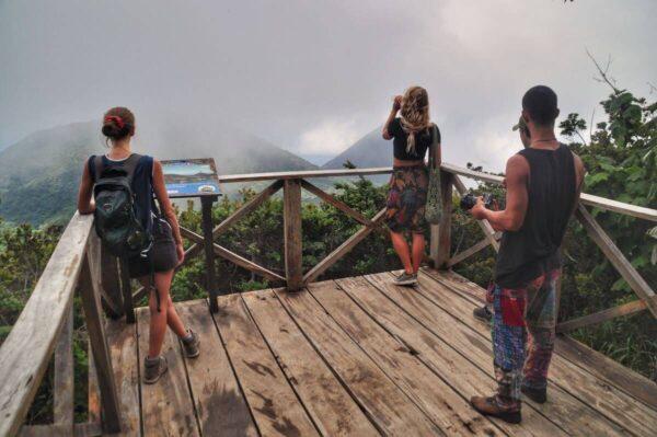
Then we went up through the forest and past a couple of nice viewpoints. One of them was on a watchtower. We didn’t climb it as it was foggy at the moment and we wouldn’t see anything other than whiteness.
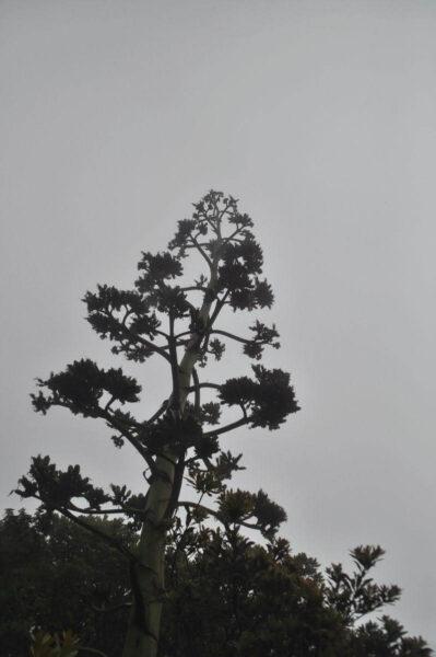
The fog dissolved concurrently with our exiting the forest and the volcano summit appeared above us. The slope was covered by agaves, yuccas, and various other types of peculiar vegetation. All flora gave off by the time we made it to the rim.
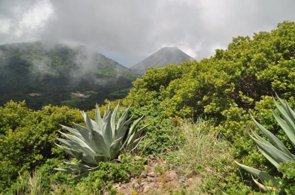
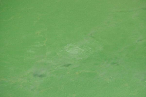
This hike was disproportionately rewarding for its easiness. The impossibly colored lake deep within the volcano’s crater steamed and seethed spectacularly. The whole place reeked of sulfur. The sky was exceptionally cloudless for the rainy season and we could marvel at a stunning, clear view of the adjoining volcanoes of Izalco and Cerro Verde, as well as Coatepeque Lake far below.
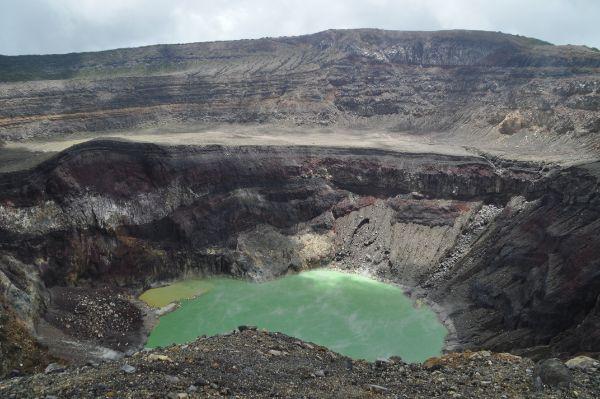
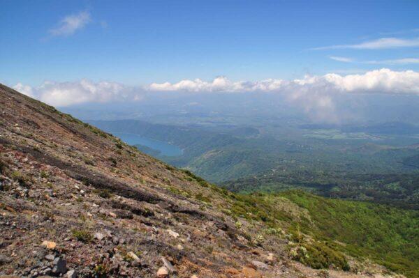
The actual highest point of Santa Ana Volcano is located at the northern side of the rim, right opposite the side we were at. We would have walked around to it if we were on our own. But we weren’t, and this wasn’t a part of the obligatory tour we had joined. There were quite a few other tourist groups on the spot, but I didn’t notice any of them walking around the rim.
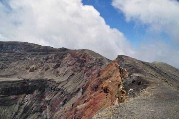
We were only given a bit of time to enjoy the view and take some pictures; had an ice lolly from the local vendor who’s apparently there every day; attempted to fly our drone but landed quickly as it was unusually jerky (we have flown at stronger winds and higher altitudes without any problem—perhaps magnetic interference of some kind?)… and headed back down to resume our road trip…
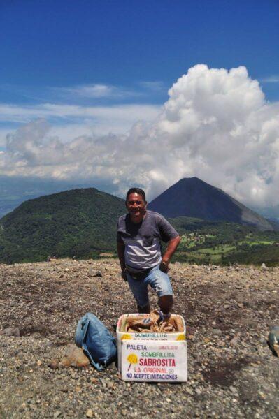
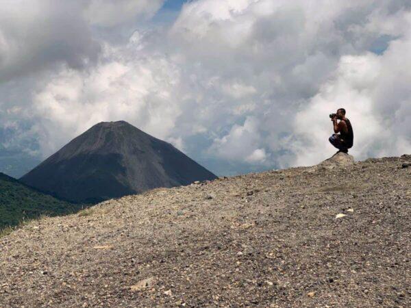
Photo Gallery
View (and if you want use) all my photographs from Santa Ana Volcano.
Accommodation and Activities in El Salvador
Stay22 is a handy tool that lets you search for and compare stays and experiences across multiple platforms on the same neat, interactive map. Hover over the listings to see the details. Click on the top-right settings icon to adjust your preferences; switch between hotels, experiences, or restaurants; and activate clever map overlays displaying information like transit lines or concentrations of sights. Click on the Show List button for the listings to appear in a list format. Booking via this map, I will be earning a small cut of the platform's profit without you being charged any extra penny. You will be thus greatly helping me to maintain and keep enriching this website. Thanks!
