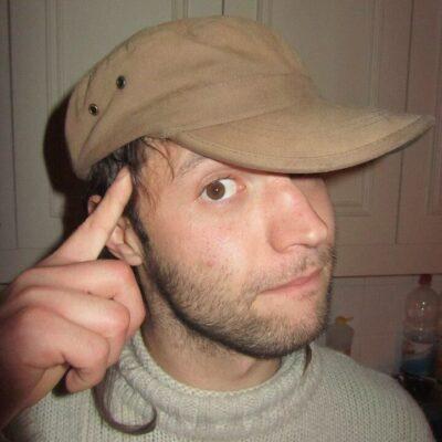
Ruta de las Flores (literally the flower route) is famed as one of El Salvador’s most scenic traveling itineraries. It runs for about 50 km between the town of Sonsonate and Ahuachapan, going through a diversity of lush landscapes and a series of picturesque historic villages. It would surely make a beseeming destination for our intended, brief road trip in El Salvador…
Renting a car in Santa Ana
Affiliation disclosure: By purchasing goods or services via the links contained in this post, I may be earning a small commission from the seller's profit, without you being charged any extra penny. You will be thus greatly helping me to maintain and keep enriching this website. Thanks!
The cheapest vehicle we managed to find in the city of Santa Ana was a Kia sedan rented from this dude over here for $25 a day. He doesn’t have an office, and we picked it up from his house. He was very cool; didn’t ask for any sort of deposit and no guarantee other than a photo of my driver’s license. The car was new and neat.
The only problem was that, as it turned out, we were rather limited with a 2WD. For visiting only the principal villages along the main route, we were absolutely fine; the road is decent. But for exploring the area further, we most definitely should have had a 4WD.
You can search for more vehicles over here:
Or if you prefer an organized tour, there are a few nice options available on Viator and on GetYourGuide.
On to the road trip… After stopping by for a short hike to the top of Santa Ana Volcano early in the morning, we proceeded with the Ruta de las Flores…
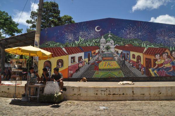
Sonsonate
We drove Ruta de las Flores from south to north. The route’s southern starting point is located in the town of Sonsonate. We arrived there in the afternoon and stopped for a while to check out the town. It was quite a big place with some nice streets, food places, and cafes, but nothing too special overall; a good place to withdraw cash and go shopping before heading to the smaller towns along the route.
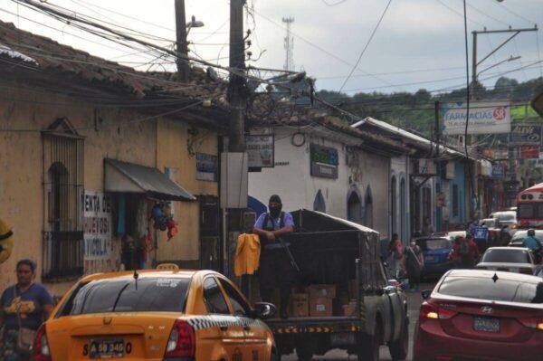
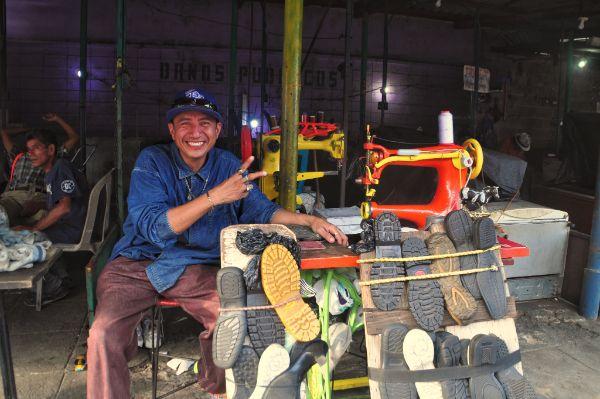
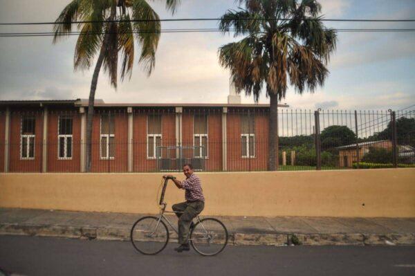
Nahuizalco
This is the first town of the Ruta de las Flores from the south. It was almost dusk by the time we got there, and we were in search of a place to sleep. At the time of our visit, there were no lodges in the town listed on major booking platforms.
There was but a single hotel in the center by the name of Hotel California. It may have been such a lovely place indeed, but I didn’t bother to find out after inquiring at the entrance and being offered $45 for a nightly fee.
Asking around, a cop directed us (with a hand-drawn map of sorts) to another little hotel located at 13.7821, -89.7383. It existed but was shut like a fortress. I tried, but no one answered neither the bell nor the phone number that was written by the entrance.
So we ended up at a posada we had spotted on the way to the village; about 2km south of it (coordinates: 13.7541, -89.7351). We paid only $10 for a cute, spacious room with AC; top deal.
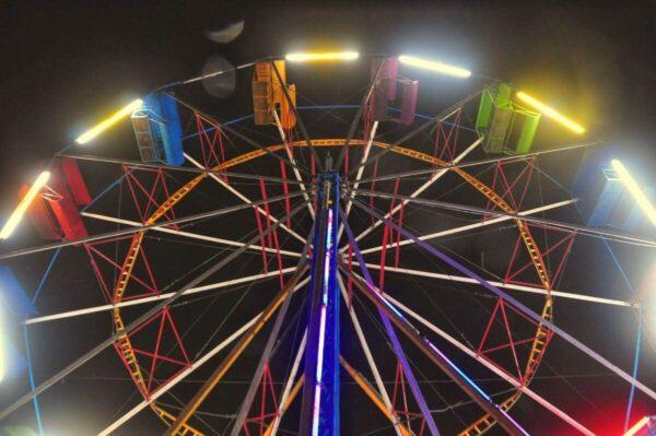
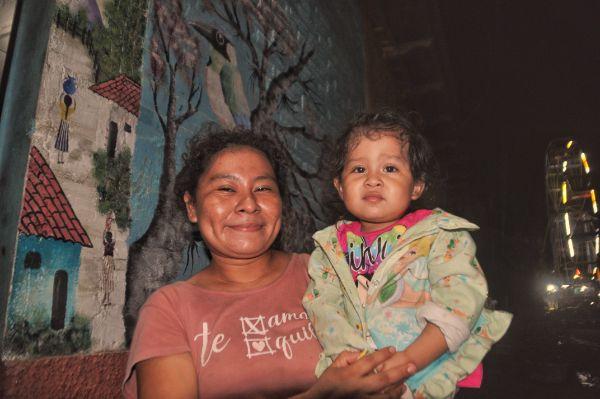
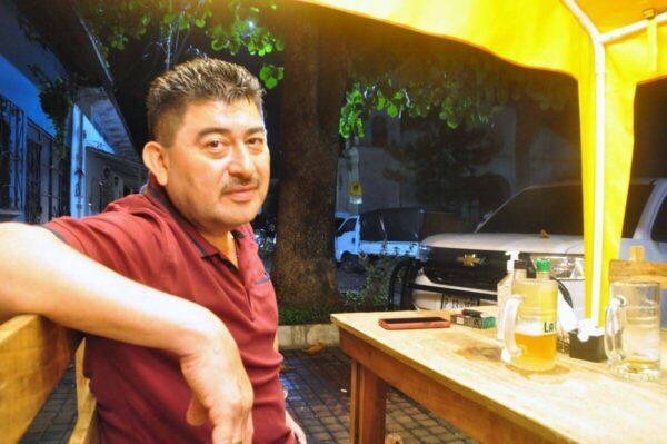
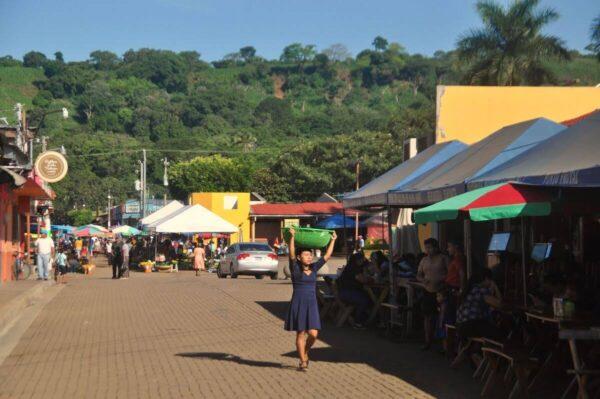
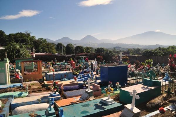
Having settled successfully, we drove back to town for a night walk. It was lively. Numerous food places operated around the central square and adjacent streets. They were mostly full of Salvadorian tourists. There was even a minuscule fairground squeezed tightly into a narrow street. We ended up dining on pupusas at a lovely family’s place situated thereby. We then had a beer at the single place that served such by the square, where we stroke up a conversation with a local expatriate to the US, and went back to sleep.
The problem with that lodge was that it required that we check out by 6 am. But since there was no Internet reception on the spot and Sophie had a morning shift to work, we would have done that anyway. We drove to town and parked in a place. Sophie stayed there to work in the car, and I went on a little stroll around town. Upon finishing her shift at 9 am, we hit the road.
Los Naranjos
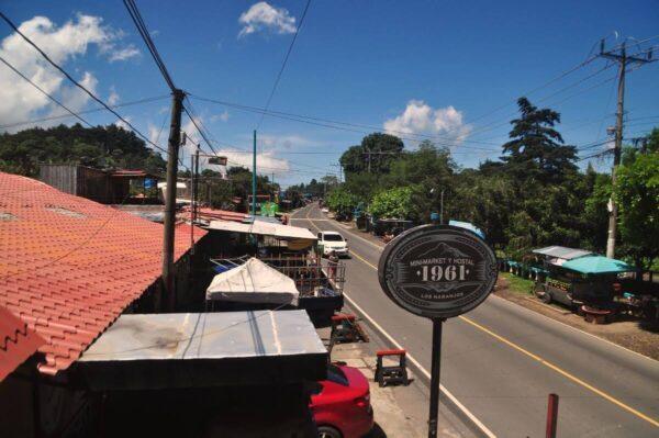
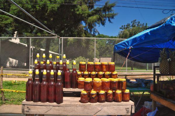
Although not exactly a part of Ruta de las Flores, this is a nearby village we had heard good things about. It was basically just one road with lined-up stalls selling honey and various other yields of the local produce, but a cute place overall. We had breakfast on a nice terrace overlooking the road and moved further.
Laguna Verde
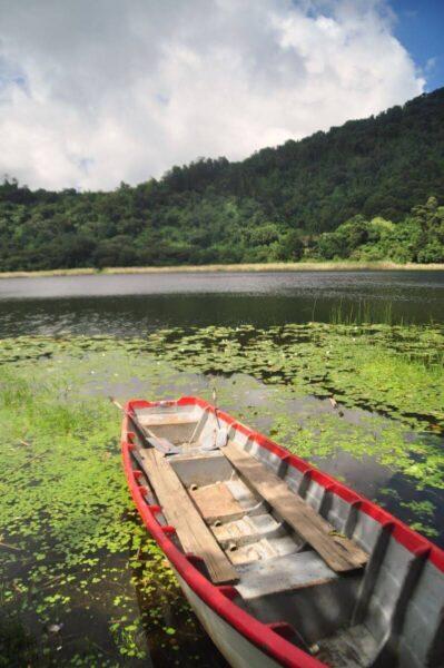
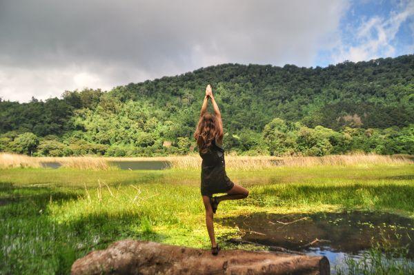
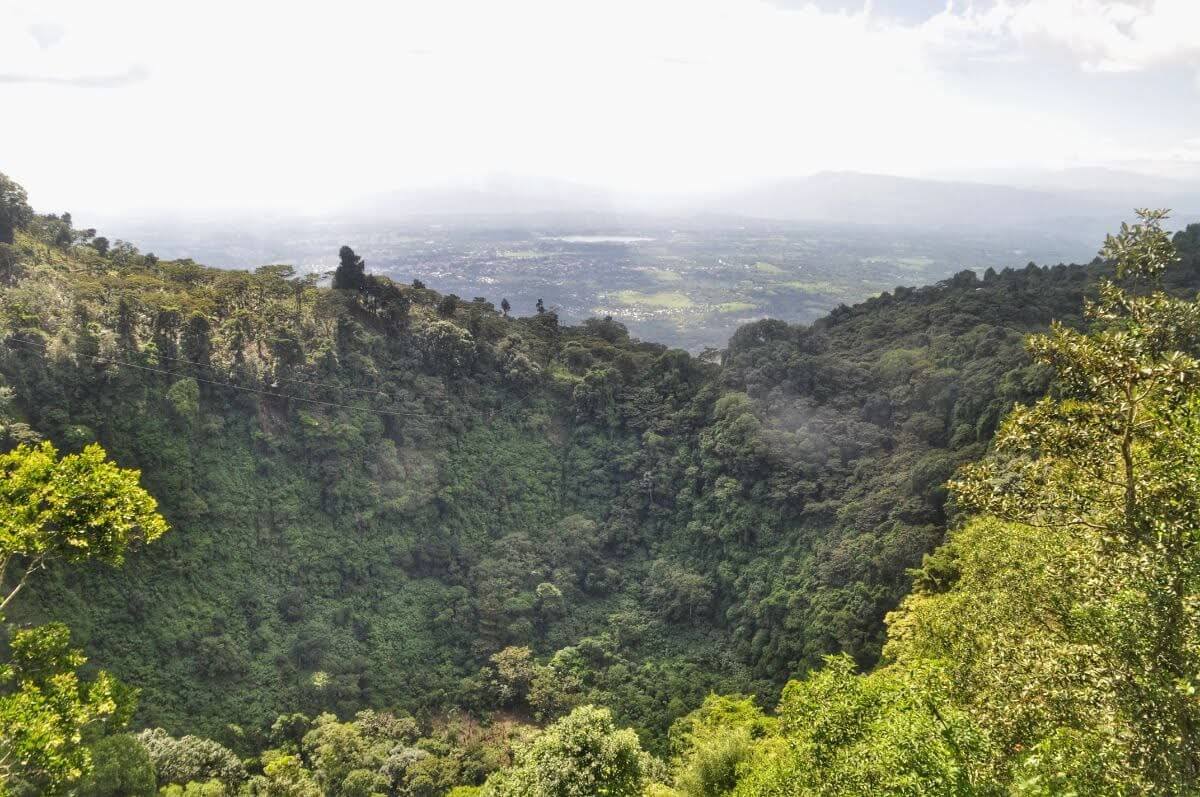
Bypassing the main town of Juayúa for a second time, we drove to Apaneco; near the end of Ruta de las Flores. From there we managed to follow a secondary road that led us to a beautiful secluded lake by the name of Laguna Verde (coordinates: 13.8907, -897886). From the settlement right before the lake, we also got to walk a short trail to a viewpoint (coordinates: 13.8832, -89.7920) overlooking a spectacular ancient crater and the distant plains.
Salcoatitán
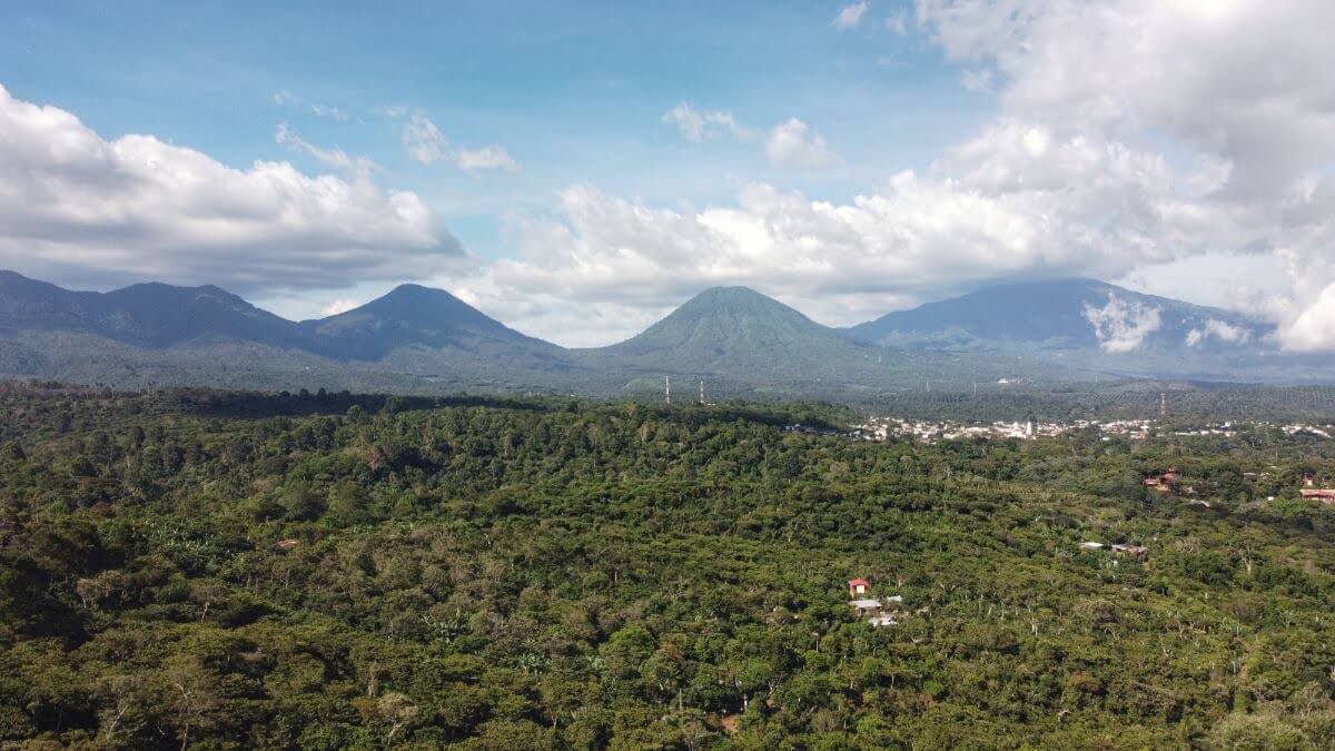
Heading back to the heart of Ruta de las Flores, our next stop was the town of Salcoatitán. Along the road north from it, there are two viewpoints (coordinates: 13.8416, -89.7642 & 13.8588, -89.7883), where we briefly stopped to take in some pretty amazing vistas of the lush surroundings and fly our drone.
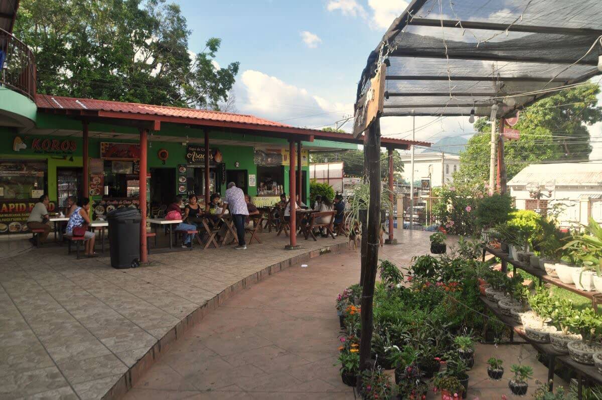
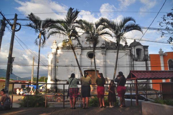
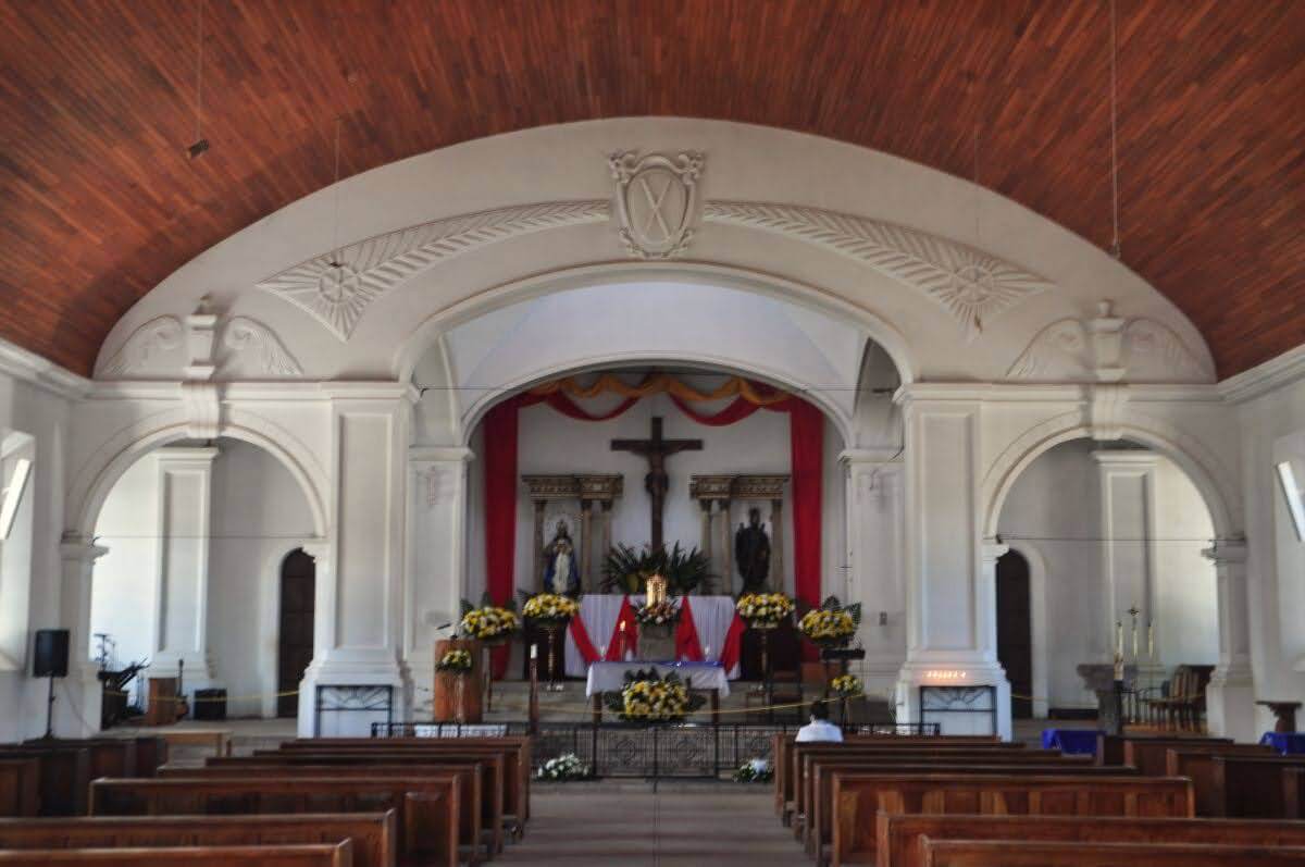
The town itself—besides the typical-of-all-of-them-towns old church and cute park with a fountain in the middle—featured a nice food court. There was plenty of choice for lunch. In the end, we went for tortas and chocolate bananas for dessert.
Juayúa
Shortly before sunset, we at last stopped in Juayúa, where we’d spend the second and last night of the road trip. This is the largest of the towns along the route and the only place we saw foreigners. Unlike the other towns, in Juayúa there are also plenty of accommodation options. Checking out several of them on the spot, we decided to stay in this one, which turned out the cheapest and perkiest.
We went for a night walk; had Chinese for dinner and drinks; went for another walk in the morning… and moved on.
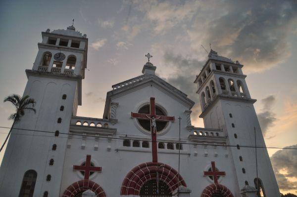
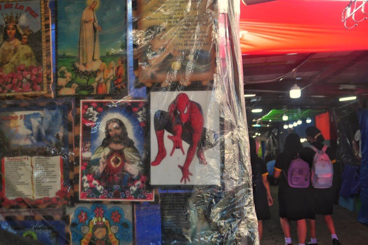
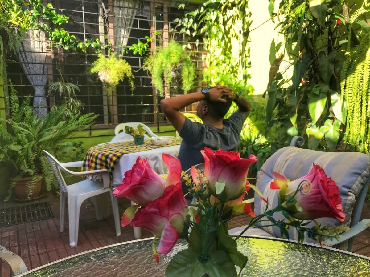
7 Waterfalls
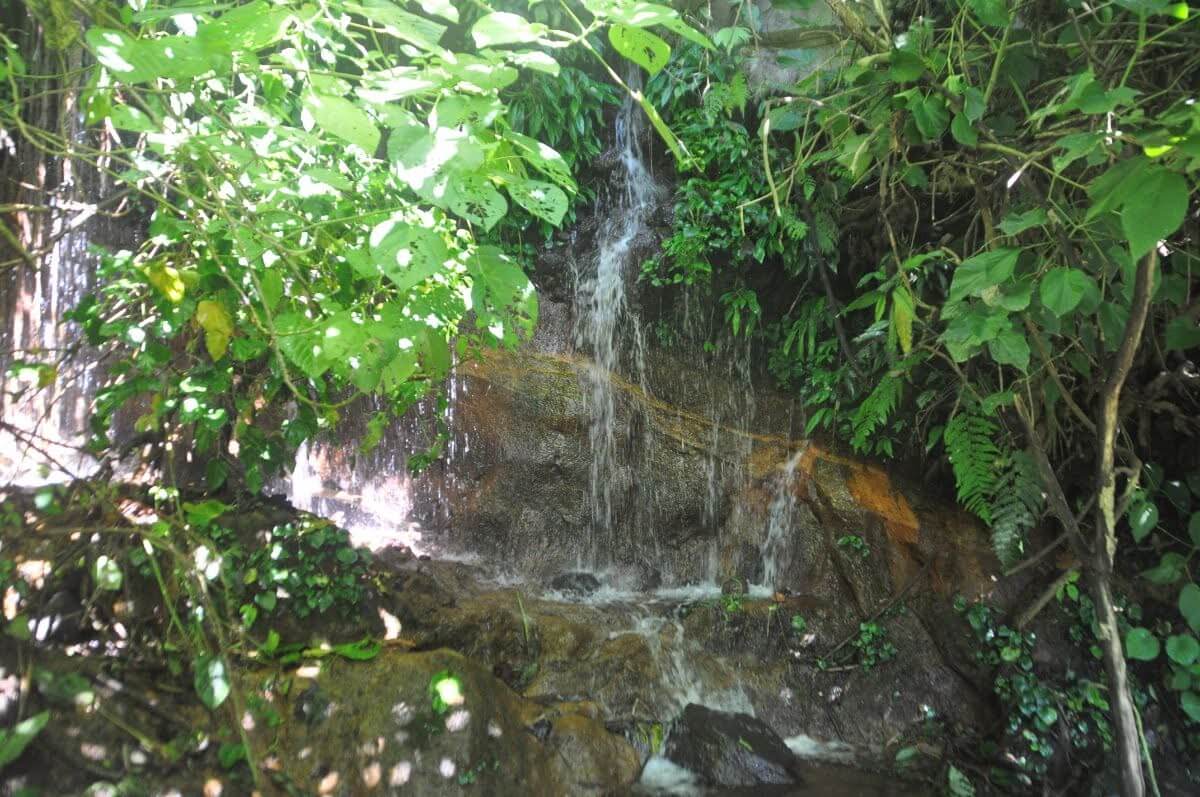
West of Juayúa, down a deep, lush ravine, lies a complex of seven waterfalls. The normal approach to them comes from the east. But when we figured out that we couldn’t drive closer than 3 km from them with our 2WD, we decided to see if we can reach them from the west instead.
Sure enough, going past the settlement of Cantón la Union, we managed to drive to a point (coordinates: 13.8388, -89.7305) a mere couple of hundred meters away from the falls. A small house was located there, whose owner kindly let us park our car inside his yard and gave us instructions on how to reach the waterfalls.
We had to go over some pretty sketchy trails through the jungle, and we didn’t get to reach the most impressive of the waterfalls we’d seen in pictures, but we made it to some of the other ones and definitely enjoyed this whole little excursion.
Apaneca
Our penultimate stop along the flower route was the town of Apaneca. Unfortunately, we were running late by then. Since we planned to allot more of our remaining time for the last stop, we here went only for a short walk around the center.
Concepción de Ataco
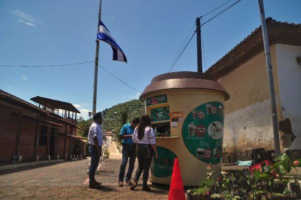
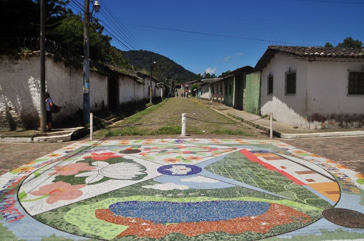
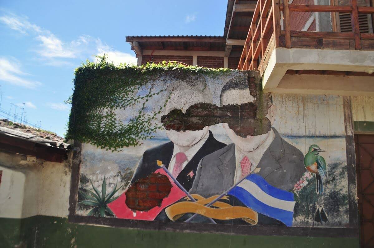
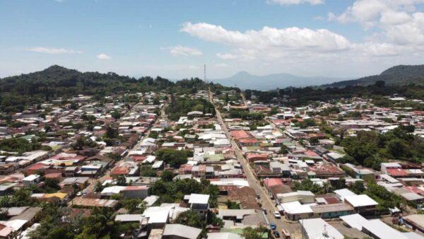
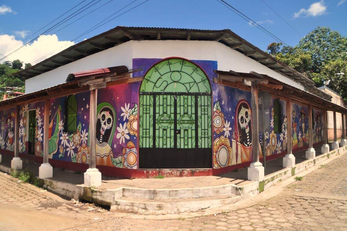
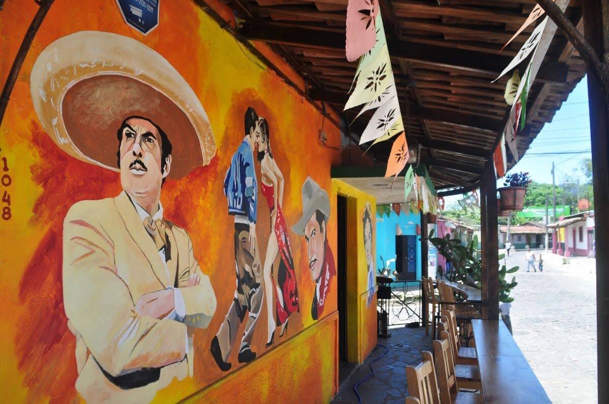
Concepción de Ataco, the northernmost town along the Ruta de las Flores, was surely my personal favorite. Its streets were the fullest with life and elegant street art. There were plenty of pleasant cafes and food places, as well as accommodation choices all over the place.
After a short walk along a path starting from the Church of El Calvario, at the town’s southern edge, we also got to reach a lovely viewpoint of the entire town; a thing all other towns lacked. If we knew in advance that Concepción de Ataco would be the town we’d like the most, we’d probably have planned to spend one of the nights there. But since this wasn’t the case, we soon had to leave and make it back to Santa Ana by afternoon.
Accommodation and Activities in El Salvador
Stay22 is a handy tool that lets you search for and compare stays and experiences across multiple platforms on the same neat, interactive map. Hover over the listings to see the details. Click on the top-right settings icon to adjust your preferences; switch between hotels, experiences, or restaurants; and activate clever map overlays displaying information like transit lines or concentrations of sights. Click on the Show List button for the listings to appear in a list format. Booking via this map, I will be earning a small cut of the platform's profit without you being charged any extra penny. You will be thus greatly helping me to maintain and keep enriching this website. Thanks!
