The other day I was contacted by my new friend Rishabh from India and was asked to organize a day trip outside of Athens for him. Going over the many possibilities the gorgeous Greek countryside has to offer, we eventually decided to head for Mount Mainalo, home to outstanding natural sceneries and renowned, charming villages such as Stemnitsa and Vytina.
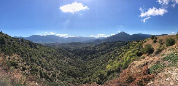
Mount Mainalo, reaching an elevation of 1,981 meters AMSL, is the highest mountain in Arcadia region, in the very heart of the Peloponnese. Its particularly lush slopes run for some 20 km in a southeast-northwest direction, between Tripoli and Vytina. During antiquity, the mountain was especially sacred to the god Pan. In the past centuries, it was colloquially known as Ano Chrepa but its ancient name did eventually prevail and is in current use. In more recent decades, significant efforts have been undertaken to develop the tourism sector in the area. These led to the establishment of a ski center near the highest peak of the mountain and a certified 75-km-long hiking trail spanning the entire mountain which is known as the Menalon Trail. The area, however, remains exceptionally wild and unspoiled.
So we began driving at 6 am from downtown Athens, destination Peloponnese. The advent of the sun found us on the highway, a good way out of the bustling city. It was an excellent trip full of outstanding sceneries, walks in picturesque stone villages, short hikes in the woods, good food, and a lot of profound quiet. We only got back to Athens by around 10 pm. And here come the highlights of the tour…
Ostrakina Peak and Mainalo Ski Center
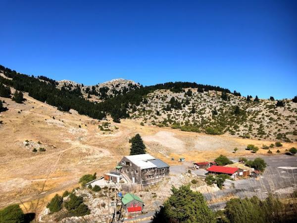
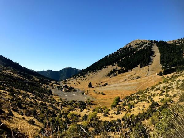
It took about 2 hours on the highway until, early morning, we got on E074 provincial road. Shortly afterwards, we reached the village of Neos Kardaras where we left the main road and started driving up towards the ski center. This is located on the slope of a steep peak right beside Ostrakina: the mountain’s tallest summit.
Being late September, the place looked much different than during the wintertime when the ski center operates and the mountain’s popularity is at its high; too much green rather than white, to begin with, and rather lorn. Other than a few hunters and their dogs scouting the slopes excitedly, we did not encounter a soul.
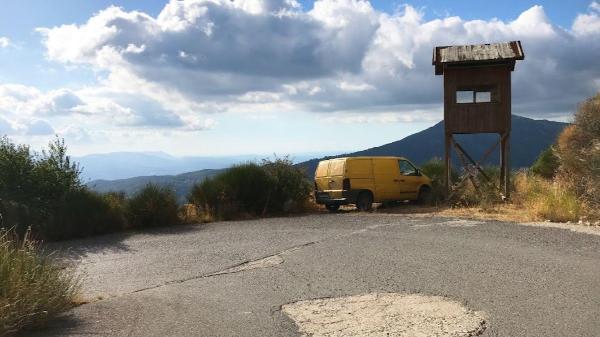
We had a brief stop by the ski center to wonder at the magnificent views and indulge in the soothing silence. That’s also where the trailhead to the summit is located. However, an ascent was not planned for this trip, so we soon got to drive down the northern side of the mountain.
Vytina Village
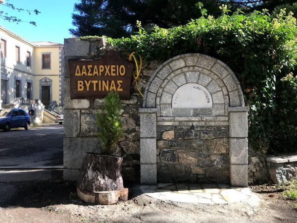
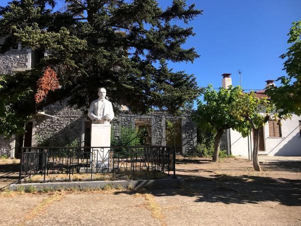
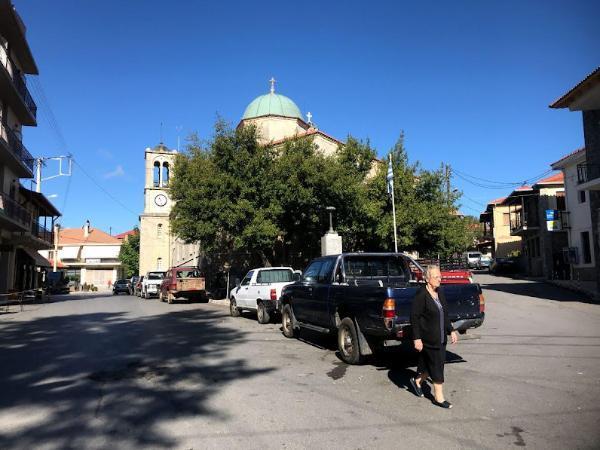
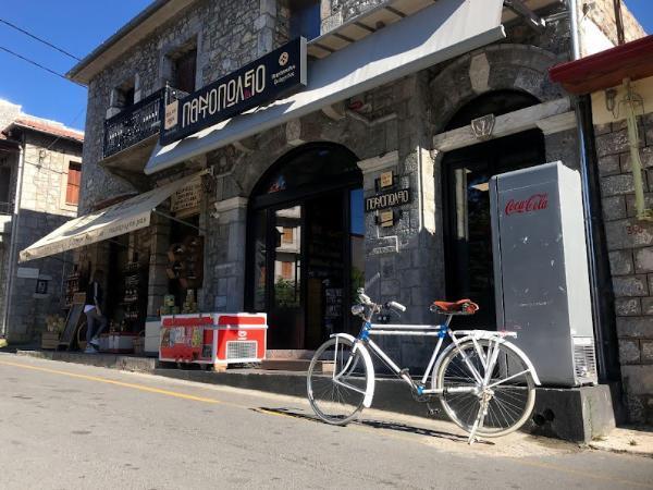
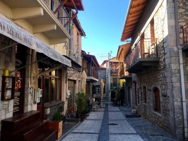
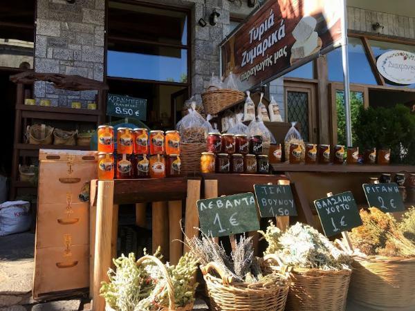
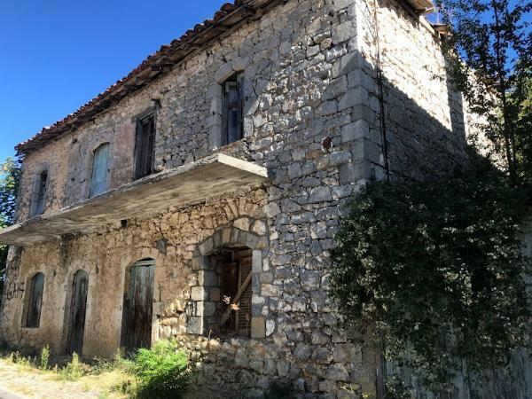
We soon reached the village of Vytina by the northwestern foot of the mountain. This village is one of the most important inhabited centers within the municipality of Gortynia and is especially renowned for its traditional style and serene environs. The village is also a center of marble production with its distinct variation being called Black of Vytina. The remains of the ancient city Methydrion are situated in its vicinity.
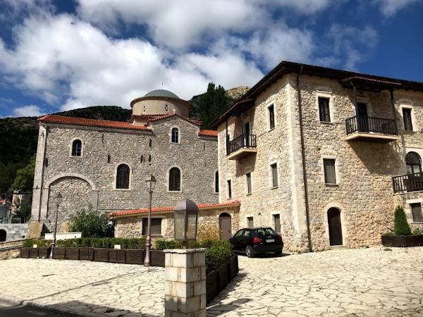
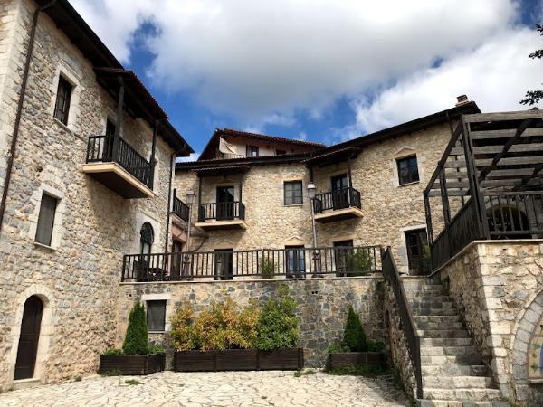
We parked the car and proceeded with a nice stroll around the village’s narrow streets. We got to wonder at its beautiful stone houses and their neat gardens for a while and we drove off.
Magouliana Village
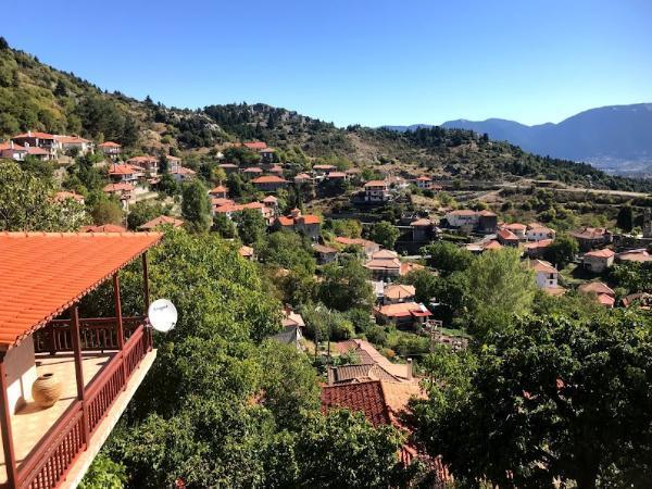
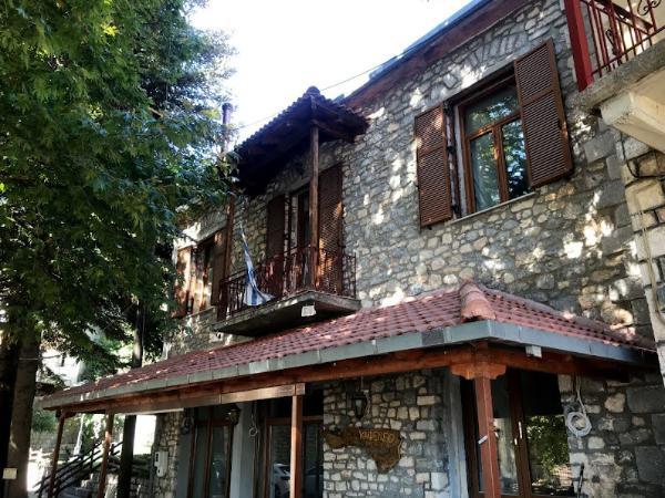
Next came Magouliana Village. This is another amazingly picturesque settlement built on a lush mountain slope at an elevation of 1,365 m. The community was founded in the 16th century. Its name is of Slavic origin and means hill people. During the efforts for the Hellenization of non-Greek toponyms that took place in the early 20th century, it was briefly given the Greek name Argyrokastro but ended up maintaining its original name.
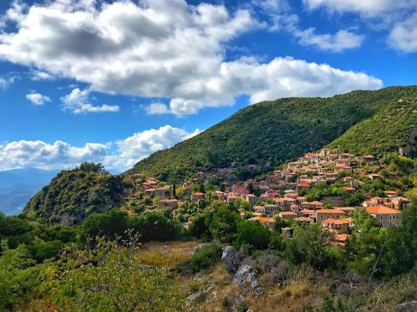
Here we had another pleasant, brief stroll. We got to enjoy the splendid views down the slope and take some nice pictures. Then we drove further to the next village.
Valtetsiniko Village
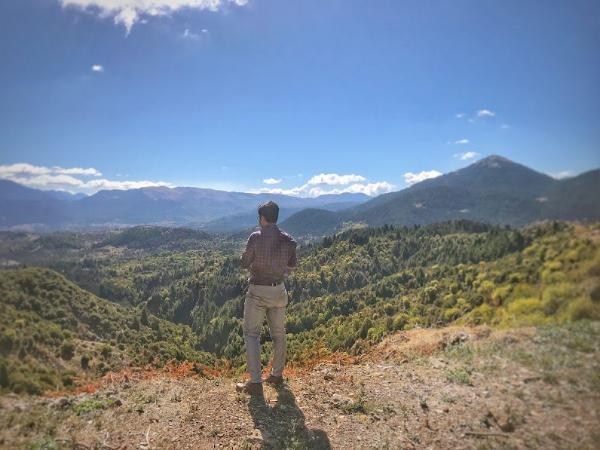
Valtetsiniko is another amazingly picturesque village on the slopes of Mainalo. It is built at an altitude of 1,100 m and offers some really breathtaking views of the surrounding green peaks.
Valtetsiniko is a village with an opulent history. The ruins of an ancient town, Mycenean walls, and a temple dedicated to Artemis have been discovered on a spot 1 km outside of the village. Parts of a medieval fort also remain on a nearby peak which served as a refuge for the Greek populations of the lowlands during the Slavic raids of the Middle Ages. The inhabitants of the village partook in the Orlov Revolt of 1770 against Ottoman rule and suffered heavy repercussions after the uprising failed. The village also played a prominent role during the Greek Revolution when General Theodoros Kolokotronis chose it as his stronghold to repel the invasion of the Egyptian Army under Ibrahim Pasha.
Today Valtetsiniko is a rather thriving village maintaining a permanent population of several hundred. Agriculture and animal husbandry are its principal economic activities with tourism being also under development. It also became the first village in Peloponesse to install a free WiFi network for its inhabitants.
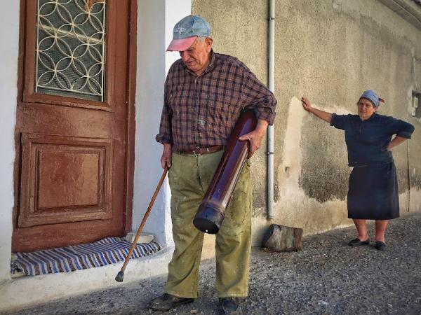
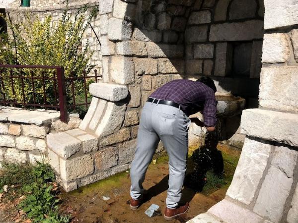
We spent a considerably longer time in this village. I found it a rather big and lively one. Its mostly elderly inhabitants proved very social. Pretty much all of them were very eager to strike up a conversation with us. They mostly wanted to know where we come from and how we ended up over there. A man also informed us of different properties being offered for sale in the village. If I was to settle down, I’d seriously consider them. After stopping by at one of the village’s cute cafes for a frappe, we drove back down towards our next destination.
Elati Village
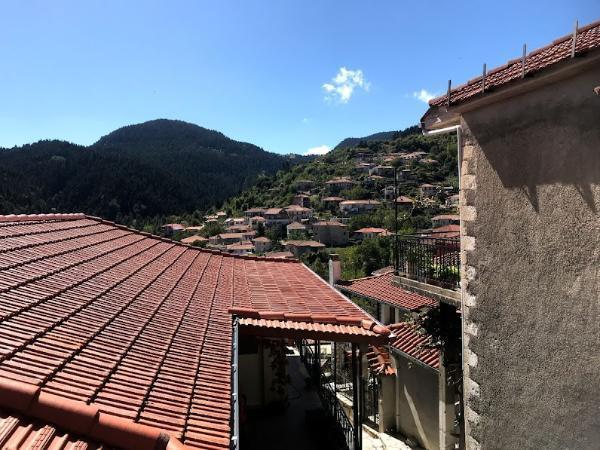
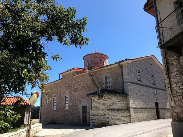
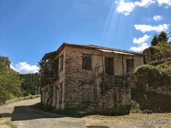
Elati is another cute little village located on the slopes of Mount Mainalo. It is built at a 1,200-meters altitude and, according to a 2011 census, it is home to a mere 27 inhabitants.
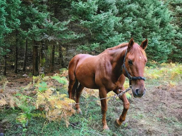
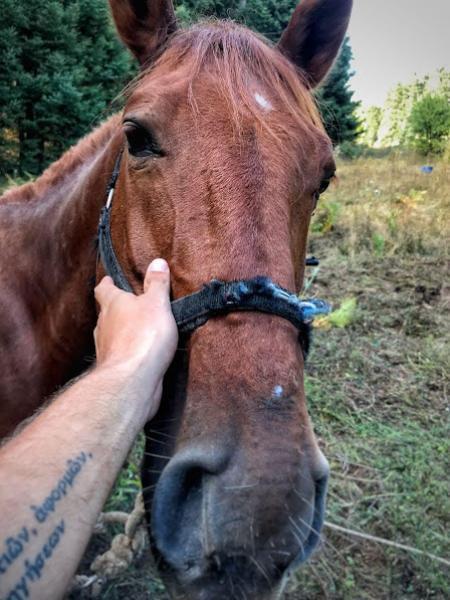
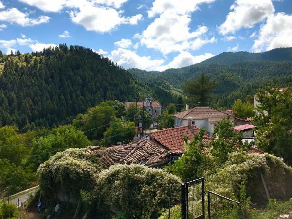
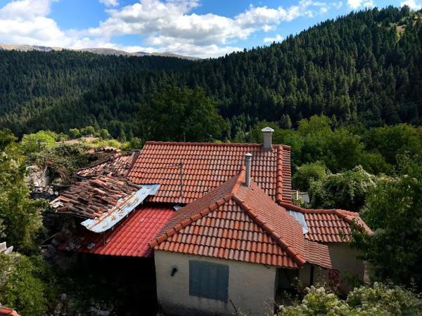
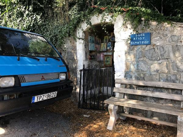
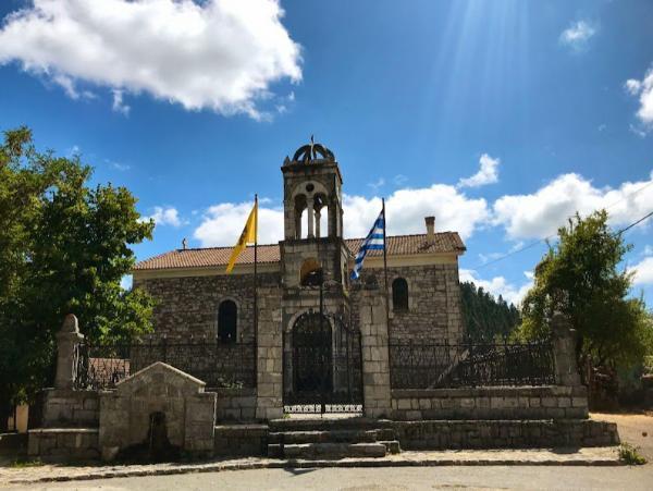
It took a pleasingly scenic ride through deep fir woods to reach the village. At the purlieu of the village we encountered a group of handsome horses grazing idly in the narrow meadows. We did a brief pause to stroke them and socialize with them a bit. Then we drove into the village which we found utterly forlorn and quiet; we didn’t see or hear a single human. We also intended to have our lunch there but the village’s tavern was as forlorn. We had a short stroll, took some photos, and drove further.
Stemnitsa Village
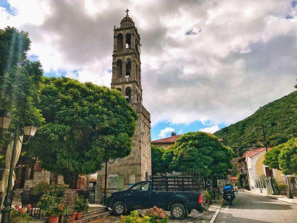
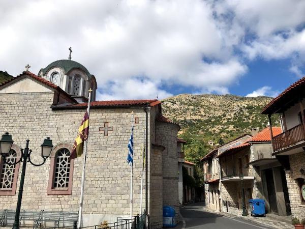
Our next destination was the village of Stemnitsa. This is one of the area’s most renowned settlements and is considered one of the most iconic villages in the entire Arcadia. It stands on the verdant rim of a deep cliff over the gorge of Lousios River, at an altitude of 1,083 m.
Stemnitsa boasts a long, eminent history that dates back to the ancient city of Hypsous with which it identifies. That ancient establishment was already abandoned by the time of Pausanias’ visit in the 2nd century AD.
The current settlement was apparently founded by wandering Slavs in the 7th or 8th century, as its Slavic-origin name (meaning woodland) suggests. During the subsequent centuries of Ottoman occupation, Stemnitsa, like the whole of mountainous Peloponnese, served as a sort of sanctuary for the preservation of Greek culture and tradition. Stemnitsa maintains an impressive for its size number of churches older than half a millennium, the oldest of which having been erected in 1185. Other important sights in the village include a folklore museum and a historical library.
Stemnitsa also played a very prominent role during the Greek War of Independence. It was used as a shelter for the clans of Kolokotronis and other Greek chieftains. During a brief period after the outbreak of the revolution, it also served as the seat of the temporary government of the newly liberated Peloponnese. The assembly came to be known as Peloponnesian Gerousia and met at the nearby monastery of Zoodochos Pigi.
Stemnitsa has had a long tradition of gold and silver smithing. A public-funded smithery school still operates there today. Tourism also makes a vital economic sector for its inhabitants. The sector was especially boosted after the recent opening of the Menalon Trail for which Stemnitsa is the starting point.
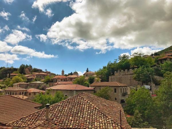
We spent a couple of pleasant hours in this lively village. We got to walk around its picturesque streets quite extensively and wonder at its adorable architecture and its far-reaching views. We had an exquisite Greek traditional lunch and a beer in the shade of the mulberry trees at one of its taverns. We allowed some time for digestion and a good talk, and drove down towards the bottom of Lousios Gorge and our last destination for this day trip.
Lousios Gorge & Monastery of St John the Baptist
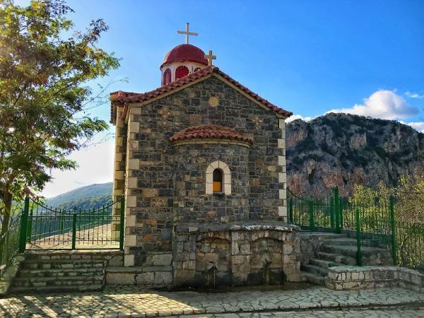
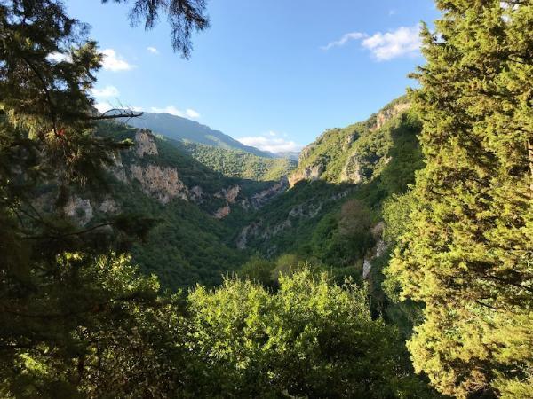
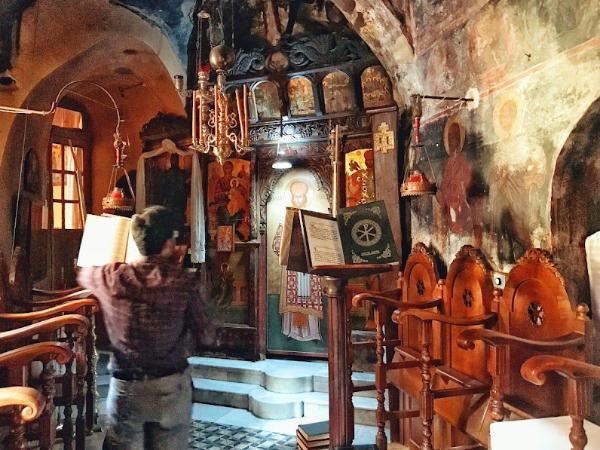
It was a beautiful drive over the narrow, serpentine road, down the steep eastern precipice of Lousios Gorge. The sun was getting close to hiding behind the western cliff by the time we reached the small parking lot near the gorge’s bottom and got on the trail leading to the Monastery of St John the Baptist.
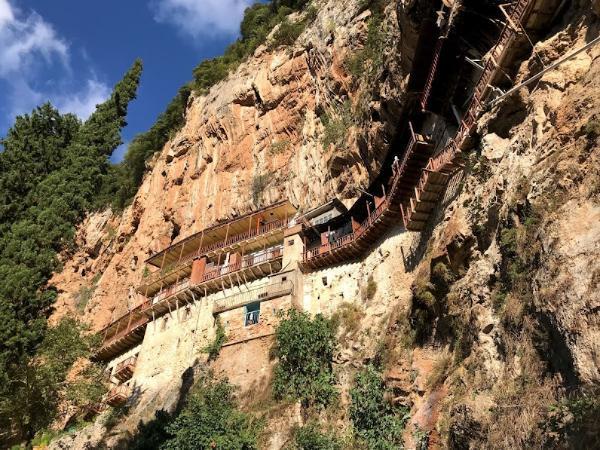
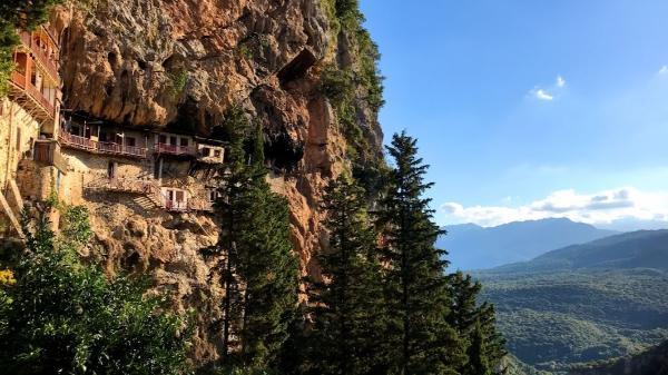
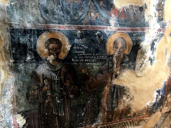
This, in my opinion, is one of Greece’s most impressive monasteries. The thing is literally fixed on the face of a vertical cliff over the chasmal gorge. Staring at it from below, one may only extol the courage and engineering capabilities of the bygone folks that put it up; as well as admire the nerves of its current inhabitants – myself, I wouldn’t feel that very comfortable sleeping at night, thinking of the long stretch of empty space intervening between the gorge bottom and my timeworn floor.
The foundation of the monastery is dated in the year 1126 but monks are believed to have been stationed there for at least a couple of centuries prior to the construction of the current building. A popular story recounts how one of the builders fell down together with a jar during the works… When the rest descended to collect the corpse, they saw him walking up the trail with the jar on his shoulders. More recently, the monastery was used as a hideout during the Greek Revolution and was twice besieged unsuccessfully by Ibrahim Pasha.
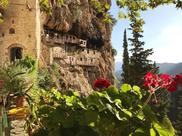
It took some 10 minutes to walk down the beautiful trail until we stood right underneath the precariously hanging monastery. A side stairway led us to the retreat’s entrance. It was open to visitors, luckily. We proceeded into the forecourt and got to dress up in the decent clothing provided by the monks. One of them walked out at that point but barely nodded at us.
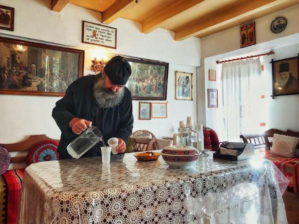
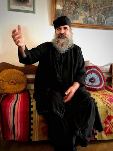
We walked up the narrow staircase leading to the upper storey. There we got startled by the presence of a monk. He patently had seen us coming and waited almost hidden behind the wall. As per usual with monks, he was a weird dude, to say the least. However weird, he acted kindly and benignly. He showed us around and offered us a seat, a glass of water, and cookies in a sort of living room they maintained. I was hoping our conversation would turn out to be an interesting one but, as per usual with monks again, it wasn’t that very so. It went kind of like:
“How long have you lived here for, father?”
“Long.”
“How many monks do you live here, father?”
“Quite a few.”
“When was the monastery founded, father?”
“Long ago.”
“What do you eat here, father?”
“Food.”
“What’s that, father?”
“I don’t know.”
“May the Holy Mary guide your way. Drive safely,” he said upon us standing up, intent on departing. He was out on the balcony waving his hand merrily and smiling broadly when we got back on the trail. Soon we were in the car driving back to the capital.
Accommodation and Activities in Greece
Stay22 is a handy tool that lets you search for and compare stays and experiences across multiple platforms on the same neat, interactive map. Hover over the listings to see the details. Click on the top-right settings icon to adjust your preferences; switch between hotels, experiences, or restaurants; and activate clever map overlays displaying information like transit lines or concentrations of sights. Click on the Show List button for the listings to appear in a list format. Booking via this map, I will be earning a small cut of the platform's profit without you being charged any extra penny. You will be thus greatly helping me to maintain and keep enriching this website. Thanks!
