On a sunny March morning, we left Mahebourg for a short scooter ride up the east coast of Mauritius. It was the eve of Maha Shivratri, the local Hindus’ holiest day, and the road was jammed with rathas, an elaborate sort of religious chariots bearing swastika-marked effigies of deities and cows. Processions of believers pushed them to some pilgrimage site or another, accompanied by cars pumping chants through loudspeakers. Save them, there wasn’t much other traffic due to the holiday. We were quick to overtake them.
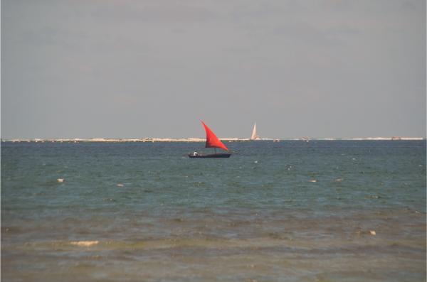
Past the Lion Mountain and Old Grand Port, our first stop was Pointe du Diable (or Devil’s Point in English). This picturesque spot marks the tip of an elongated peninsula, offering a spectacular oceanic view. Before us, a lovely turquoise lagoon stretched out, framed by the roaring break wave and the vast expanse of the deep blue Indian Ocean. Sailboats dotted the lagoon, while occasional speedboats zoomed past, adding to the lively scene.
Affiliation disclosure: By purchasing goods or services via the links contained in this post, I may be earning a small commission from the seller's profit, without you being charged any extra penny. You will be thus greatly helping me to maintain and keep enriching this website. Thanks!
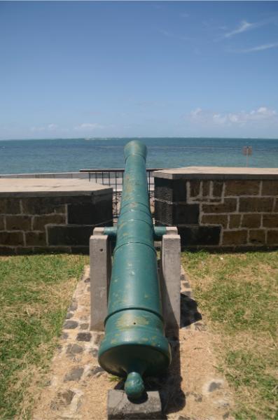
Pointe du Diable also holds historical significance for its role in the 1810 Battle of Grand Port, considered one of the most notable, albeit temporary, naval victories for the French during the Napoleonic Wars. The promontory served as a prominent fortified position guarding the entrance to Grand Port Bay, and it was the site of a successful British landing. Today, an array of cannons and the remnants of the rampart stand as a testament to its military past.
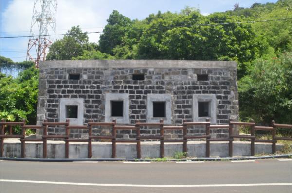
In addition to its Napoleonic-era fortifications, we observed remnants of World War II bunkers. According to the map, there should also be a stairway leading to the lighthouse up the slope, but we didn’t spot any such. Weeds must have engulfed it completely.
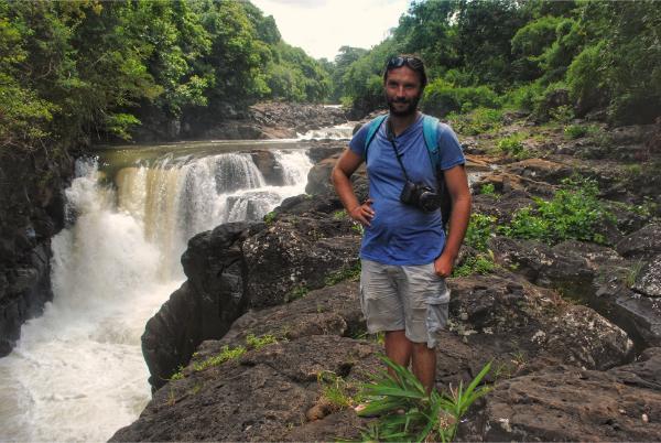
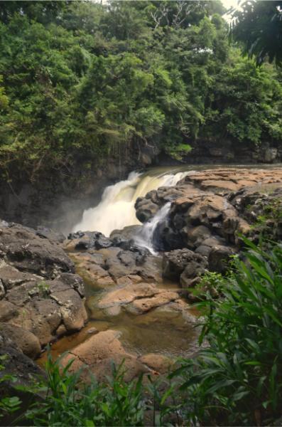
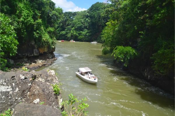
We continued along the scenic coastal road to Grand River South East village. At its entrance, shortly after the roundabout, there is a trail descending to a powerful waterfall (trailhead coordinates: -20.2793, 57.7748). The walk took 5 minutes but was rather afflicting due to a swarm of hungry mosquitoes. Boatloads of tourists were visiting the waterfall nonstop, coming from the river mouth half a mile downstream.
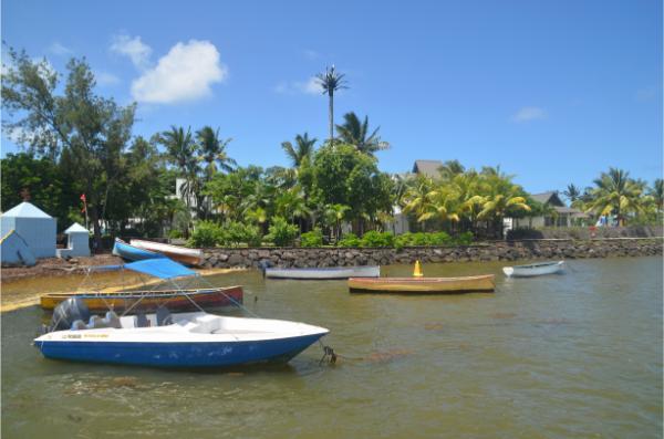
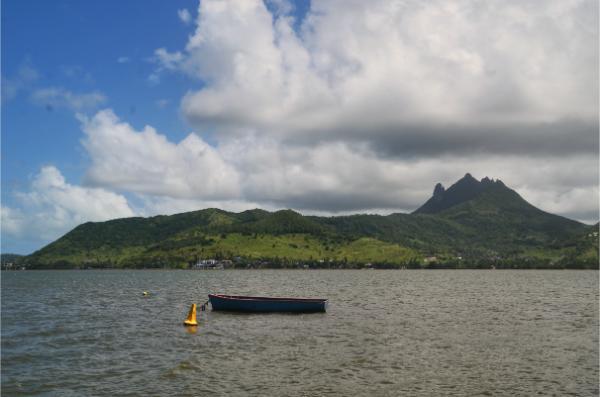
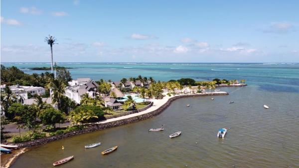
Finally, we drove to the village center. There wasn’t much there; not even a single open food place. We just chilled at the village’s little port (Camp Pecheur Waterfront), enjoying the serene view of the bay and watching parasails hovering gently before the mountainous backdrop. It was really quiet. Only a local boat owner approached us to politely offer a ride to the nearby Île aux Cerfs (Deer Island). A large resort lay at the cape beside the port (Laguna Beach Hotel & Spa). It seemed quite appropriate for a tranquil retreat away from the tourist hotspots.
Photos
View (and if you want use) all my photographs from Pointe du Diable and Grand River South East in higher resolution.
Accommodation and activities in Mauritius
Stay22 is a handy tool that lets you search for and compare stays and experiences across multiple platforms on the same neat, interactive map. Hover over the listings to see the details. Click on the top-right settings icon to adjust your preferences; switch between hotels, experiences, or restaurants; and activate clever map overlays displaying information like transit lines or concentrations of sights. Click on the Show List button for the listings to appear in a list format. Booking via this map, I will be earning a small cut of the platform's profit without you being charged any extra penny. You will be thus greatly helping me to maintain and keep enriching this website. Thanks!
