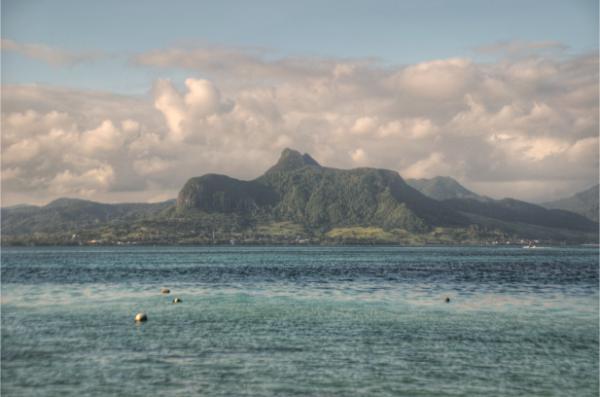
The Lion Mountain is a 440-meter-tall outcrop on the southwestern coast of Mauritius. During our two-month stay in the Indian-Ocean island country in the winter of 2024, we wondered at it in awe every day from the balcony of our place in Mahebourg. It became an obvious target for a trekking expedition. In this post, I will recount our trip to its top and provide some practical information for you who wish to carry out this hike on your own.
Affiliation disclosure: By purchasing goods or services via the links contained in this post, I may be earning a small commission from the seller's profit, without you being charged any extra penny. You will be thus greatly helping me to maintain and keep enriching this website. Thanks!
Although the climb to Lion Mountain is short and straightforward, it is steep and involves a fair degree of technical climbing. Nothing too extreme that requires gear (a grade-4 climb at most), but still tricky enough to daunt you if you’re not used to such. If you have at least some basic climbing experience, it’ll be a piece of cake. If you’re unsure, however, you better play safe and join an organized tour like this one. In addition to its technicality, and unlike other popular and well-monitored Mauritian mountains like Morne Brabant, Lion Mountain is unfrequented and covered in dense forest. If anything happens and you get lost or stuck, chances are you’ll go unfound for some time.
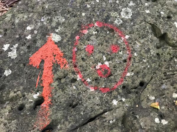
Two trails ascend the Lion Mountain over its southern face. They are, for the most part, well signposted with red-paint blots (occasionally smileys) on the rocks and yellow ribbons hanging from the trees. Both start from the same spot (trailhead location) in Old Grand Port and join into a loop. You naturally want to take the one up and the other down since you have the option. You can do the circle in either direction without a meaningful difference. In our case, we chose to take the eastern trail up and the western down for this logic: The eastern trail is slightly steeper and offers the best views; it is generally easier to climb up than down the steepest parts, plus that we could combine our breath-catching-up stops with some picture-taking.
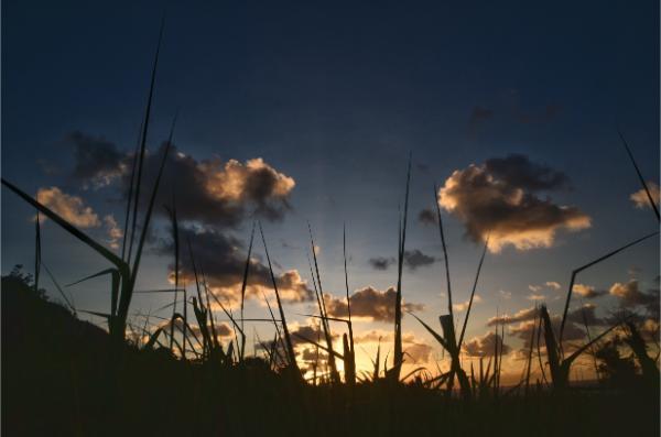
It took some 15 minutes to drive to the trailhead from Mahebourg. We left our bike at the road end, and amid a chorus of clucking and bleating of the local livestock, we began ascending by 7 am. A trail pushing through dense sugarcanes and tall grasses led us to a concrete stairway which led us into the deep forest.
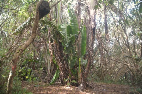
Principally composed of native pandanus, ravenala, and eugenia bojeri trees, these woods were pure charm to be in. Of the same opinion were the mosquitos that formed a constant flurried swarm around us. Important tip: long pants, long sleeves, and don’t forget the repellent!
The steepest part of the route, running along alternating sections of rock climbing and tree-root clambering, ended at the eastern viewpoint (coordinates: -20.3655, 57.7300). A stunning vista of the coast stretched out below; the best one of the whole trip.
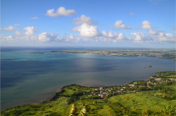
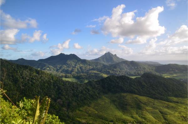
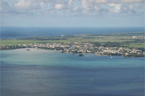
A bit more than an hour after we started, we reached the top. It was a flat clearing with a Mauritian flag surrounded by tree trunks. A short path led to the cliff rim where an opening permitted an astounding view of the hinterland to the north.
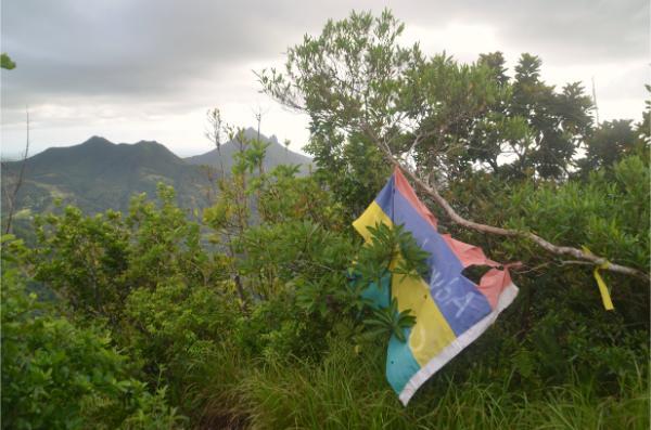
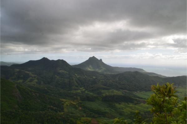
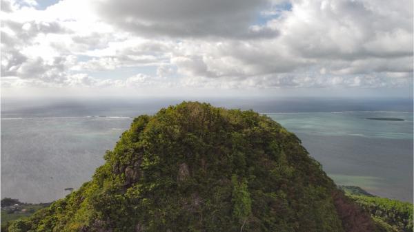
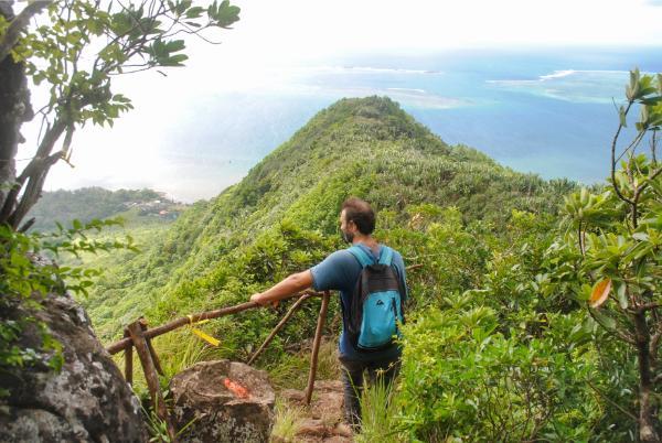
Heading back down, we reached the trail fork at -20.3637, 57.7263, and followed the western trail this time. It came to another fork (-20.3655, 57.7236), where another route made for the western cliff edge that should feature another nice viewpoint. Viewpoint my arse. The place was drowned in vegetation. Anyhow, still a pleasant hike along the ridge.
Back to the last fork, we took the main trail to the mountain foot. It followed a steep streambed which, unlike the eastern trail, was strewn with loose rocks. The lower part of this trail, too, was different than the other one in that it pushed through thicker, taller vegetation with no track or signs that I saw. We thrust through it blindly (no thorns, fortunately), aware only of heading south and downhill. By 10 am, we were back to our bike and went on a little exploration of the Old Grand Port.
Video
Photos
View (and if you want use) all my photographs from Lion Mountain in higher resolution.
Accommodation and activities in Mauritius
Stay22 is a handy tool that lets you search for and compare stays and experiences across multiple platforms on the same neat, interactive map. Hover over the listings to see the details. Click on the top-right settings icon to adjust your preferences; switch between hotels, experiences, or restaurants; and activate clever map overlays displaying information like transit lines or concentrations of sights. Click on the Show List button for the listings to appear in a list format. Booking via this map, I will be earning a small cut of the platform's profit without you being charged any extra penny. You will be thus greatly helping me to maintain and keep enriching this website. Thanks!
