Having been lately situated in Russia, there were two things I missed: warm, sunny weather and mountains. Coming back to Greece right on time for the spring’s advent, it was the exact right time to hit a mountain. At about noontime of this beautiful, mild spring day, My French friend Olivier and I were driving out of Athens’ center bound to conquer the top of Mount Pentelicus.
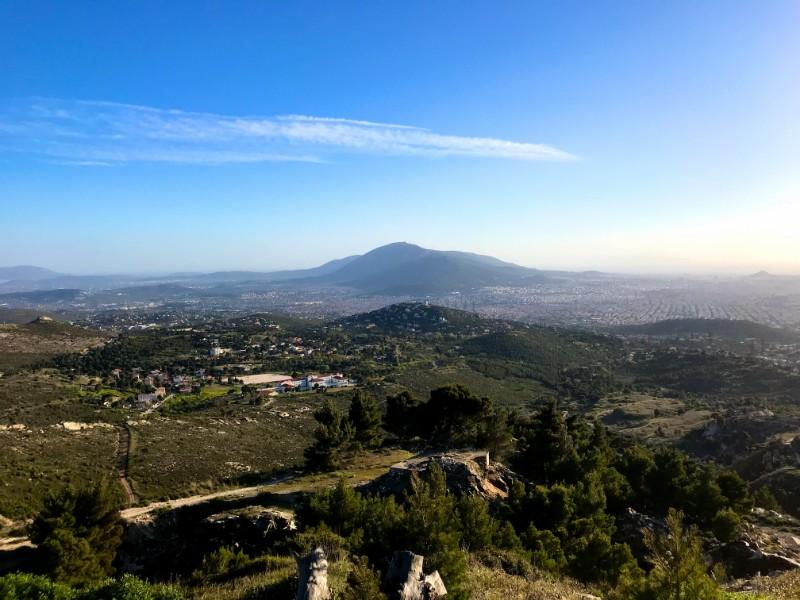
Mount Pentelicus (also known as Pentelikon, Brilissos, or Brilittos) is the second-highest of the five mountains defining the metropolitan area of Athens. It is located at the northwestern edge of the city and is easily accessible for a day hike. Its highest peak is called Pyrgari and reaches an elevation of 1,109 m.
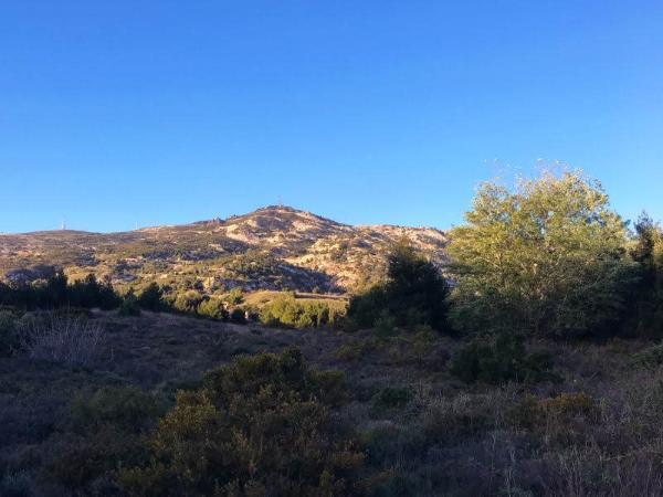
This mountain is particularly well-known for its marble quarries which operated there since early antiquity and provided the greatest bulk of the material used to build the Acropolis and the ancient city of Athens in whole. A Quarry Museum now exists on the northern slopes of the mountain.
There is a good number of scenic hiking trails all over the mountain’s territory. The top is reachable by car via an asphalted road starting from the town of Nea Penteli, as well as numerous hiking approaches. The one we chose for this day’s hike starts from the point 38.0631-23.8646, after the end of the road and the residential area, at the north-western end of Nea Penteli town.
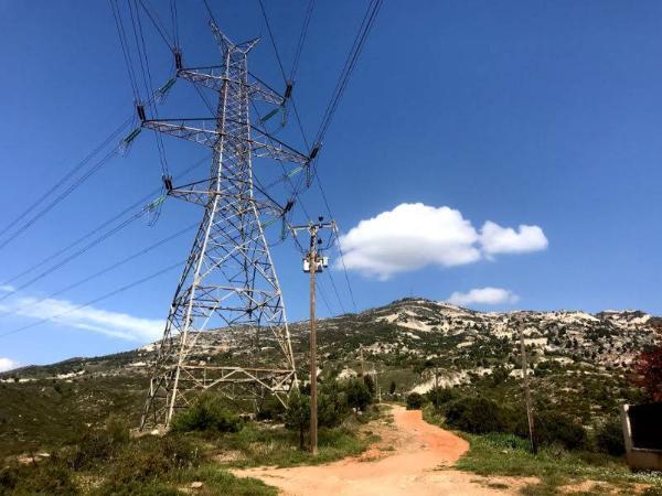
The trail first follows along with the dirt road leading north from there for about 400 m. At 38.0660-23.8674 there is a t-junction where we take the left. After some 200 m., at 38.0679-23.8673, we encounter another junction and, this time, we take the right. We keep on the dirt road for about one km until we reach Davelis Cave.
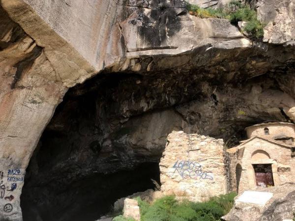
Davelis Cave
Officially known simply as Penteli Cave, this cave owes its popular name to Christos Davelis (real name Christos Natsios): a notorious 19th-century brigand who used the cave as a hideout. The entrance to the cave was originally sealed and the interior was discovered by quarriers in antiquity. The cave has been associated with an element of sacredness ever since. God Pan and the Nymphs were worshipped at the spot during ancient times and a millennium-old, little church stands until today by its entrance. In 1997 the cave was appropriated by the Greek Military who, for a six-year period, carried out works of unknown nature in it.
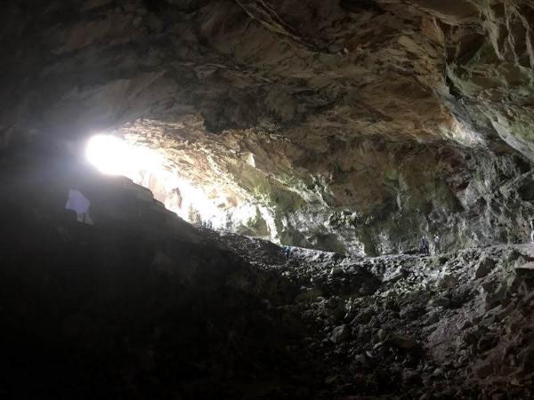
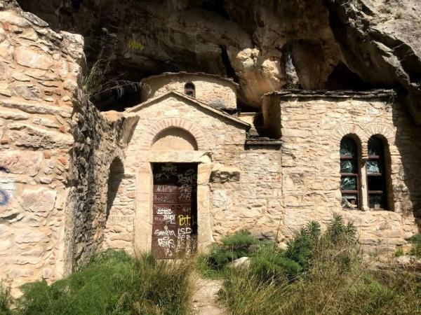
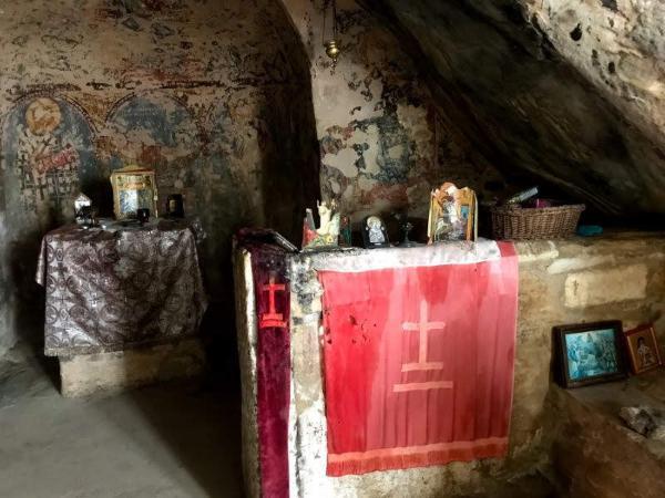
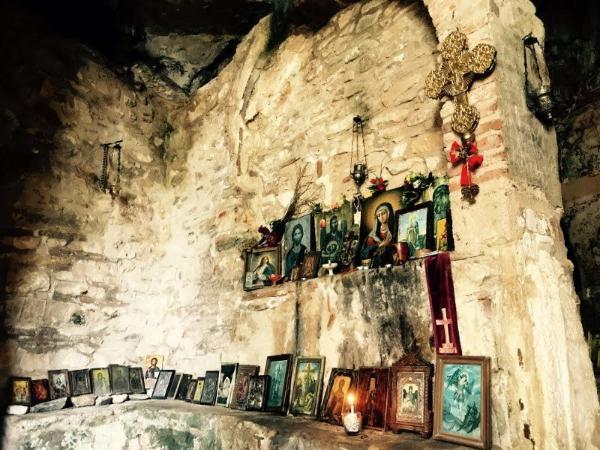
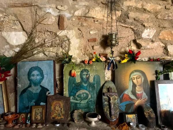
Further up to Pyrgari Peak…
We take the dirt road west from the cave for about half a km until, at approximately 38.0726-23.8722, we take a shortcut up the slope to the right to shortly meet another road and a small path leaving vertically from it. We follow the path for about 200 m. and we reach a small, picturesque church known as Saint John of Quarriers (38.0743-23.8735).
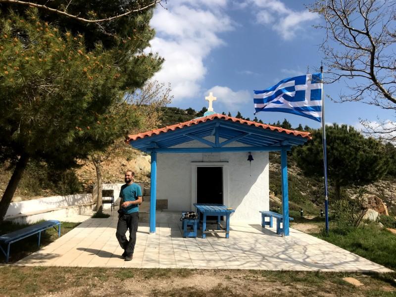
We continue on the dirt road after the church, we shortly meet the main road on a sharp curve, and we take the new dirt road leading off the curve at 38.0754-23.8737. We take the left at both the fork-junctions we encounter until, after about 1 km from the curve, the road ends.
That’s also where the easy part of the route ends. There isn’t any trail leading to the top from there or any other side of the pyramidal peak, other than the asphalted road. That’s probably so due to the military base occupying the very top of the mountain, whose proprietors are apparently no fond of sharing it with civilians.
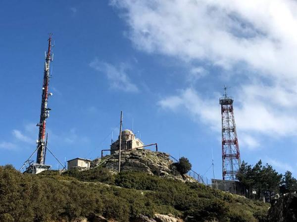
The pyramidal peak now towers steeply above us. We only need to improvise a way up. Meandering through the prickly bush, scrambling, and a little easy climbing here and there are required, but nothing too hard.
After about two hours from the beginning of our hike, we’d reached the top of Mount Pentelicus. As long as you don’t come too close to their base and they don’t see you taking pictures of it, the army men should not bother about the presence of hikers.
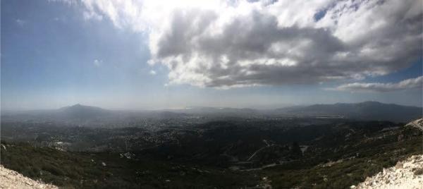
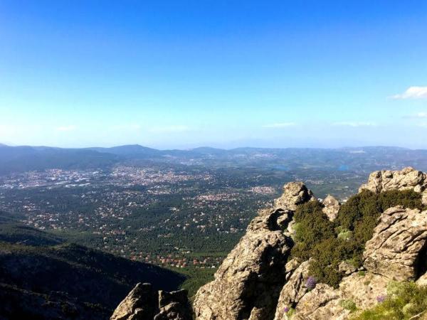
The view from the top is really breathtaking. The adjoining Hymettus and Parnes mountains dominate the landscape. The entire basin of Athens is visible, all the way down to Piraeus and the Saronic Gulf. One can visualize, in his imagination, a glorious marble city glistening brightly under the strong sunshine, amid the still unurbanized, wide plains of Attica; villages scattered all around the plains, with columns of smoke being ejected out of their houses’ chimneys; carts being pulled up and down by oxen and horses along the paved paths connecting them to the city. Looking towards the north, one can see the Lake of Marathon, where the famous battle between the Greeks and the Persians took place in 490 BC, and imagine several tens of thousands of men, lined up in confronting arrays, preparing to spear, hack, and club each other to death.
Check out this page for more ideas about hiking near Athens or this one for hiking throughout Greece.
Accommodation and Activities in Greece
Stay22 is a handy tool that lets you search for and compare stays and experiences across multiple platforms on the same neat, interactive map. Hover over the listings to see the details. Click on the top-right settings icon to adjust your preferences; switch between hotels, experiences, or restaurants; and activate clever map overlays displaying information like transit lines or concentrations of sights. Click on the Show List button for the listings to appear in a list format. Booking via this map, I will be earning a small cut of the platform's profit without you being charged any extra penny. You will be thus greatly helping me to maintain and keep enriching this website. Thanks!
