This post contains resources to help you plan your hiking trip to Mount Parnitha National Park, north of Athens, Greece. Feel free to contact me if you have any questions. If you are looking for information and inspiration for planning your hiking adventures throughout Greece, check out this resources page.
Contents
Mount Parnitha Facts
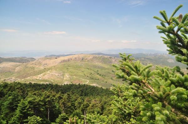
- Mount Parnitha is the highest of the five mountains defining the periphery of the Athens metropolitan area, as well as the highest mountain in the Attica region of Greece and the 73rd highest in the country. It is situated north of the city of Athens. Its highest summit is called Karabola and reaches a maximum elevation of 1,413 meters.
- The name Parnitha (gr. Πάρνηθα) or Parnes (gr. Πάρνης) is of pre-hellenic origin. It is probably etymologically related to Indo-European routes meaning stone or house.
- Mount Parnitha was declared a national park in 1961 and has been included in the Natura 2000 EU network of nature protection areas. The operation of a casino within the area creates controversy.
- Mount Parnitha is home to most of the surviving red deer in Greece (a smaller population living in the Rhodope Mountains in the north). Their population is estimated at some 700 individuals.
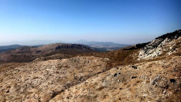
- The mountain was ravaged by a massive wildfire in June 2007. More than half of the national park’s forest was reduced to coal within two days. Smoke made it all the way to the coast of Turkey.

How to get to Mount Parnitha from Athens
By car
Many of the popular hiking trails in Mount Parnitha National Park start from the town of Thrakomakedones in the northern suburbs of Athens. In order to get there by car, you have to take the Α1-E75 highway leading north to Lamia. You take the exit at 38.0676 23.7576, the first to the left, and all straight thereafter following Tatoiou, Karamanli, and Parnithos avenues.
From Thrakomakedones, you also have the choice to drive all the way up to the mountain following the ascending road after the cable car station. There are plenty of asphalted and dirt roads you can use to explore the area once you get up there.
Another popular trail on the south face of Mount Parnitha starts from Fyli village. To drive there, you follow the Liossion-Dimokratias-Fylis Avenue from central Athens.
If you don’t have a car, look here for some of the best rental deals.
By bus
There are plenty of ways to reach Thrakomakedones from central Athens by public transport. The simplest probably is to catch the green Metro line to Nea Ionia and the bus 724 directly to Thrakomakedones from there. Another option is to stay on the green Metro line until Kifissia and take buses 543 to Chelidonou stop and 504 to Thrakomakedones.
To reach Fyli village, you can catch bus B12 to Ano Liosia and 723 directly to Fyli from there.
Mount Parnitha Cable Car
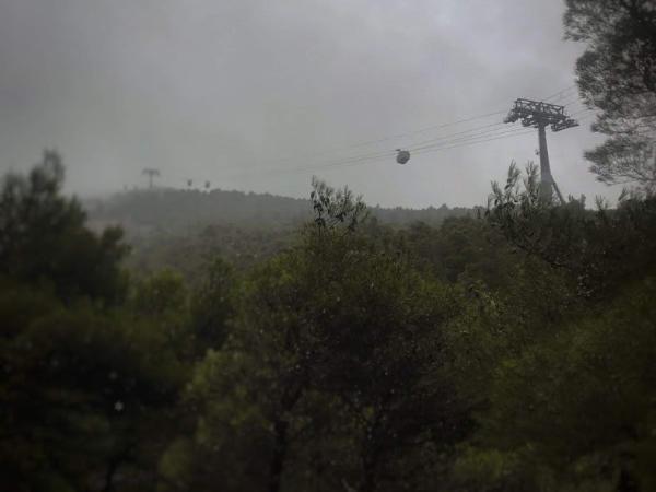
In case you want to hike in the upper elevations of Mount Parnitha but want to spare yourself the effort of ascending the entire mountain from its foot, you may consider catching the cable car. The cable car station is located on Parnithos Avenue, close to Thrakomakedones (38.1376 23.7417).
The line takes you to the casino on Mavrovouni Peak of Mount Parnitha. You don’t have to pay anything for the ride (the casino pays for it). The downside is that, after exiting the cable car, you’ll have to meander a good deal around the mazy, fancy corridors of the casino, and suffer plenty of their idiotic advertisement efforts, before you find your way out of it and into nature.
Hiking Trails in Mount Parnitha
Within the 250 km² of land that Mount Parnitha occupies, there is an endless choice of hiking trails one can follow to explore the mountain’s astounding natural beauty. Some of them are established and well-signed; others are totally unmarked and little-used; yet others are just to be improvised, as it’s quite easy to walk pretty much anywhere in the mountain, especially in the higher altitudes where vegetation is sparser.
A thing to note and be especially cautious about when hiking Mount Parnitha is that its two highest summits (Karabola and Ornio) are reserved for military installations. Approaching these military bases is strictly prohibited and can lead to arrest and a lot of trouble. You should also be careful with photographing the bases even from a relative distance.
That being said, I follow up with a list of some of the most popular and well-signed hiking trails worth checking out.
Holy Trinity – Skipiza – Mola
This trail begins at Holy Trinity Church and goes straight north facing Karabola Summit. It goes past Skipiza Spring and the fire lookout station soon thereafter. Some really marvelous views of Boeotia and Euboea may be seen from there. It then circumvents the summit and terminates in Mola Rest Area. Average duration: 2 hrs
Mpafi – Koromilia Spring – Thrakomakedones
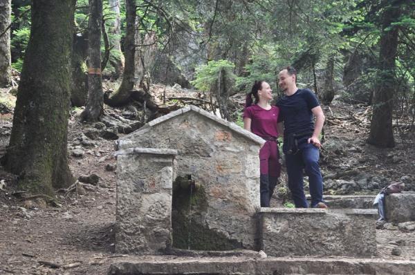
This one starts from Mpafi Refuge. It follows for a while the road towards Mola, below Ornio Summit, and continues east until Koromilia Spring. From there on, it moves south until it leads down to Thrakomakedones. Average duration: 2 hrs
Holy Trinity – Kyra Peak – Agios Georgios Church Thrakomakedones
This trail goes west and south from the Holy Trinity Church, over Kyra Peak, down to Agios Georgios Church, and leads to Amigdaleza district near Thrakomakedones. Average duration: 2,5 hrs
Phyli – Cave of Pan – Arma Peak – Monastery Kliston
This is a really lovely trail. It starts from Phyli village and moves along the eastern slope of Keladona Gorge until it reaches the Cave of Pan, by the northern foot of Arma Peak. It then ascends straight up to the peak and down again the south side into the gorge, where the Monastery Kliston is located. Average duration: 4hrs
Mola – Avlona
This trail crosses the less-frequented northern Parnitha. It starts from Mola Rest Area and goes west and north, past Agios Georgios Church and into Saloniki Valley. It finally meanders among the northernmost summits of Parnitha and terminates in the town of Avlona. Average duration: 4 hrs
Mola – Paliomilesi – Malakasa
This is another trail in northern Parnitha. It starts again from Mola but moves straight north, facing Skimthi Peak. Right below the peak, it meets the Paliomilesi Spring and descends together with it, through dense forest, until the Sfendali railway station near Malakasa town. Average duration: 3 hrs
When to hike Mount Parnitha
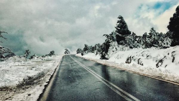
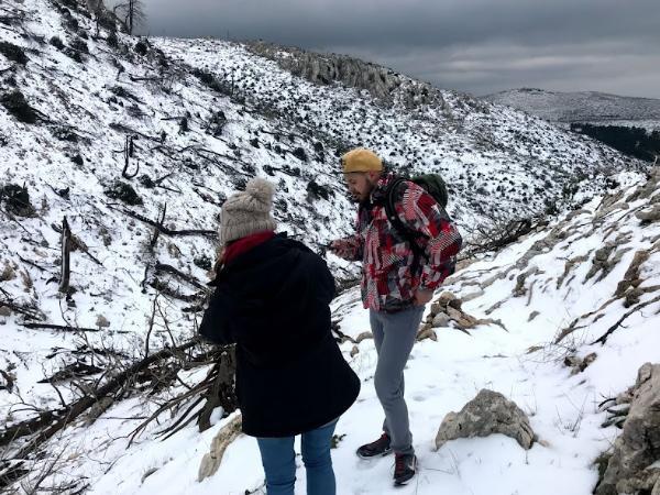
It is perfectly alright to hike in Mount Parnitha all year round. However, the best seasons are spring and fall. In the winter you should be prepared for freezing temperatures and snowstorms. Whereas in the summer for scorching heat and a lot of sweating. In the summer bear in mind that springs may also often run dry.
Mount Parnitha Hiking Map
Here’s a map containing some of the most popular of Mount Parnitha’s countless hiking trails.
Video from Mount Parnitha
Photo Gallery
View (and if you want use) all my photographs from Mount Parnitha.
