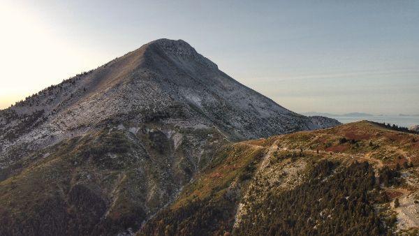
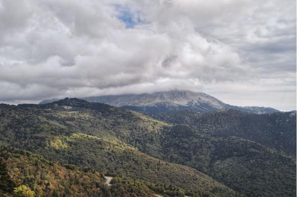
Mount Dirfys (also spelled Dirfi – gr. Δίρφυς) is the highest mountain on Evia, Greece’s second-largest island. It is by far the island’s highest mountain and most prominent feature. Its conical, jutting, volcano-resembling summit is visible from at least a hundred-mile range around the island. The stunningly picturesque, alpine landscapes that characterize the mountain make the area more reminiscent of Switzerland than a typical Greek island.
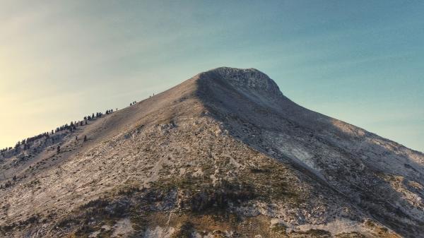
Dirfys features a great variety of trails to please a hiking aficionado. These range from leisurely routes through deep, alluring, ancient woods to strenuous treks and climbs over desolate, wind-lashed plateaus and vertical cliffs. Given also its vicinity to Athens, this mountain is a favorite destination for the nature-inclined inhabitants of the Greek capital city.
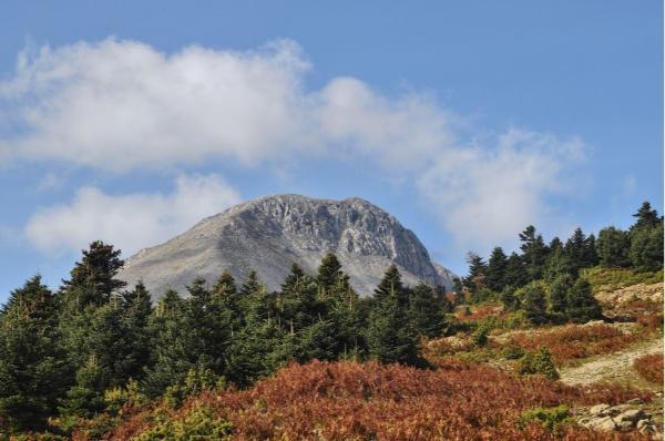
Quick Facts about Mount Dirfys
- Maximum elevation: 1.743 AMSL
- Summit coordinates: 38.6266, 23.8410
- South refuge coordinates: 38.6103, 23.8603
- North refuge coordinates: 38.6369, 23.8141
- Closest major village: Steni
- Closest city: Chalkida
- Mountain composition: Naked limestone at high levels; fir-and-chestnut forest at lower levels
- Protected-habitat zone area: 13.6 km2
- Time to climb: All year round, ideal conditions in spring and autumn
Hiking Trails on Mount Dirfys
Here you find the descriptions of the most popular, marked trails in the region of Mount Dirfys.
Climbing to the top of Dirfys
The summit of Mount Dirfys, called Delfi, reaches an elevation of 1.743 meters AMSL. Whereas it is possible to reach it from every direction, there are two established, marked trails: one ascending along the mountain’s southeastern ridge; and another along the northwestern one. Approaches from other sides are highly demanding and, especially from the north, may require advanced climbing skills and gear; thus are not recommended for people lacking extensive mountaineering experience.
The two designated trails leading to the summit are generally easy to follow, and apart from a few occasional scrambling passages, require no technical skills. Fatal accidents, however, have occurred during ascents, and people altogether lacking trekking experience should think it twice before attempting the climb on their own. By far the most popular and better-signaled route out of the two is the southeastern one, which is slightly shorter but steeper than the northwestern one.
Southeastern ascent
This trail begins from the south (old) refuge of Mount Dirfys (coordinates: 38.6103, 23.8603). To reach the refuge, keep driving uphills from Steni on the main road (0411) until you reach the range ridge. Right before the road begins to descend, and shortly after a sharp 180-degree curve, you will see a dirt road forking off to your left (junction coordinates: 38.5976, 23.8685). If you have a 4×4, follow that road for some 3 km until you see the refuge. If not, you should still be able to drive it in a 2WD car, but if you feel any compassion for it, better park it there and continue on foot.
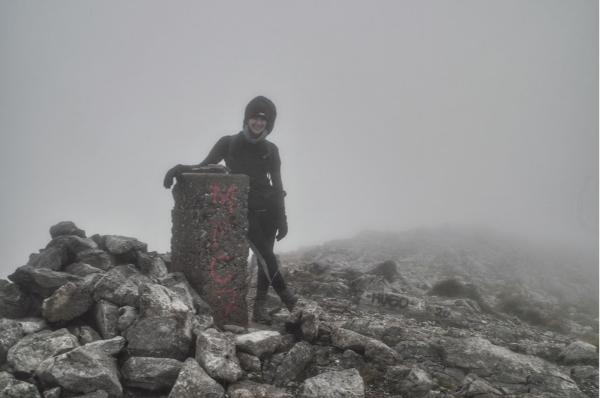
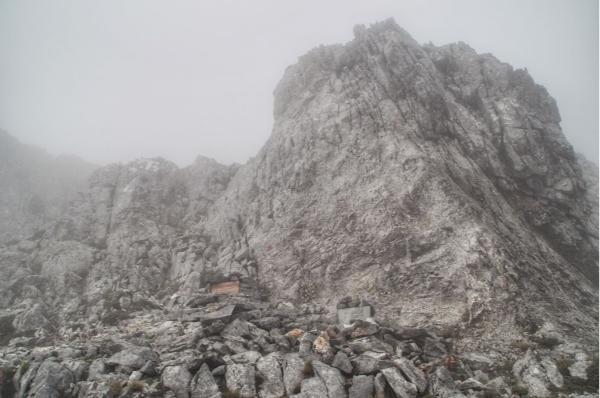
Once at the refuge, keep following the dirt road north for some 700 m until you stand at the foot of the mountain. You will see a stone pillar to your left and a goat sty to your right. Ignore the dirt road heading down north, and start ascending straight up the slope. Follow the rather dense red or yellow marks sprayed on the rocks all the way to the top. Better stick close to them, because straying may lead you to unpleasantly vertical cliffs and unstable screes. The mountain’s highest point is signified by a triangulation pillar. The climb should take between 1.5 and 3.5 hours at reasonably quick paces.
Northwestern ascent
The second marked trail to the top of Mount Dirfys begins from the north (new) refuge (coordinates: 38.6369, 23.8141). To reach that, you must drive along the narrow, remote connecting the villages of Agios Athanasios and Glyfada, crossing the range ridge near the northwestern foot of Dirfys.
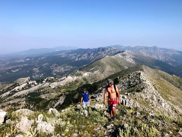
Once parked there, go straight up the slope to the east, by the left side of the scree. Once you make it to the ridge of the mountain, whence the Aegean Sea is rendered visible, just follow the ridge all the way to the summit. Sparse signs are present, but you shouldn’t rely much on them. For a more detailed description of this route, check out this story of one of my ascents utilizing this trail.
Other, lower trails
If you are not after a strenuous climb to the top – or if you are after an even more strenuous climb starting from further down – there is a great number of easy, beautiful trails spanning the lower levels of the mountain. Here are three of the most known, marked ones of them.
Agali Gorge
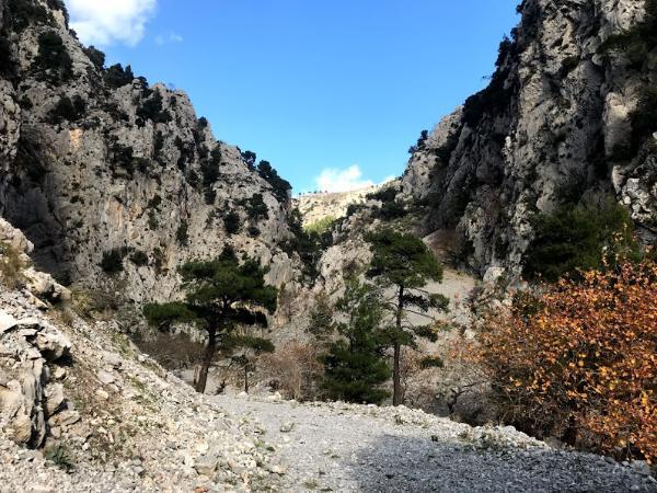
This deep gorge is one of Dirfys’s most impressive features. It starts at the village of Agios Athanasios, at the lowest western foot of the mountain. Trailhead coordinates: 38.6081, 23.7923. You follow the gorge for some time, until it splits into two separate ravines. There you can choose either the left one, leading to the north refuge, or the right one, leading to the south refuge, from both of which you can continue your way towards the summit. Unless you are very fast, a round trip would require an overnight on the mountain.
S1, Steni-Refuge
This popular trail begins from Steni village. The trailhead is located right between the church of Saint Kirikos and the football field, shortly uphills along the main road after the Doctor’s Spring, which is the village’s principal landmark. Signs are present en route and lead you to the north refuge after 2-3 hours of hiking through enchanting woods and far-viewing clearings. Trailhead coordinates: 38.5887, 23.8456.
S2, Steni-Refuge
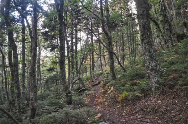
Just like S1, this trail runs between Steni village and the north refuge of Mount Dirfys, but sticking on the west side of the main road. It mostly runs through a deep fir-and-chestnut forest, and also takes between 2 and 3 hours to complete. It begins from a point along the main road, about 200 m after the church of Saint Kirikos, right before a sharp left curve. Trailhead coordinates: 38.5888, 23.8478.
Mount Xerovouni
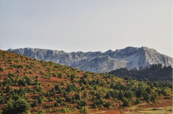
To the southeast of Mount Dirfys, there towers the imposing, dramatic, bare volume of rock known as Mount Xerovouni. It offers lots of additional scenic hiking trails, as well as climbing routes for the keen adventure seeker. Have a look at this post for more info on it.
How to get to Mount Dirfys
The gateway to Mount Dirfys is the village of Steni, which, apart from being the most easily accessible, is also the only village in the vicinity of the mountain that hosts any tourism infrastructure.
By car
It takes roughly an hour and a half to reach Steni from Athens. Drive to Chalkida, take the single road to northern Evia from there, and in the center of Nea Artaki town, take a right on road 0411, leading directly to Steni.
By public transport
Despite its vicinity to it, it is, unfortunately, no easy task to reach Steni by public transport from Athens. Getting to Chalkida is the easy part, as there are plenty of both buses and trains running between the cities every day, all day. The problem is to get to Steni from there.
As of October 2020, there are only two daily routes from Chalkida to Steni: one at 6:00, and another at 14:00. This makes it outright impossible to go on a day trip from Athens to Dirfys without a car. If you haven’t even a day to spare for an overnight on the island, you are left with only two realistic options: either rent a car or join an organized tour. If you consider the latter, do not hesitate to contact me.
The truth is, however, that even if you have a car, you may not want to rush your trip, but rather allow yourself a number of days to properly explore and enjoy the mountain. If that’s what you’re up to, check out below some good accommodation options in Steni.
Stay22 is a handy tool that lets you search for and compare stays and experiences across multiple platforms on the same neat, interactive map. Hover over the listings to see the details. Click on the top-right settings icon to adjust your preferences; switch between hotels, experiences, or restaurants; and activate clever map overlays displaying information like transit lines or concentrations of sights. Click on the Show List button for the listings to appear in a list format. Booking via this map, I will be earning a small cut of the platform's profit without you being charged any extra penny. You will be thus greatly helping me to maintain and keep enriching this website. Thanks!
When to hike Mount Dirfys
Spring & Autumn
Just like all over Greece, spring and autumn are by far the best seasons to hike on Evia Island. Temperatures are at their mildest, water is plentiful, and particularly in spring, nature is at its most vibrant state. Although generally warm, winds may be biting at the mountain’s highest elevations. A jumper should always be carried along.
Summer
It is hot hot hot. Be prepared to sweat abundantly during the ascent. However, make sure to bring some extra top as winds can still be chilly. Even if you don’t feel the heat that much, the sun severely scorches everything under its scope. Sunscreen and a hat are indispensable. Water en route is commonly scarce, if available at all.
Winter
Be prepared for a proper mountaineering expedition. Bring plenty of warm and waterproof clothing: a good jacket, beany hat, gloves, snow boots. A thermos filled with hot tea will definitely prove vitalizing. If you are headed for the summit, crampons would be of great use. Skiing or snowboarding is the fastest and most fun way down.
Photo Gallery
View (and if you want use) all my photographs from Mount Dirfys.
Videos
Hiking Routes Map of Mount Dirfys
