This post includes a list of all the good places you can go hiking in Athens, Greece, as well as useful information for planning your hiking trips there on your own. If there is anything particular you wonder about that you cannot find in this post, feel free to contact me and I will be happy to assist you. If you are looking for additional resources for planning your hiking trips around Greece, check out this page.
Contents
Hiking inside the city of Athens
Athens is a huge and tight city with few natural attractions to be found within its metropolitan area. Luckily, though, there are a couple of hills that are largely left to their natural state and are located right in the center of the city.
These are pretty much always crowded with tourists. You shouldn’t expect to have anything like a real wilderness hike over there – rather a city park stroll. However, this is as close as it gets to hiking within the metropolitan area. And the outright astonishing views you can marvel at from there, make these short hikes a must for every visitor of Athens.
Lycabettus Hill
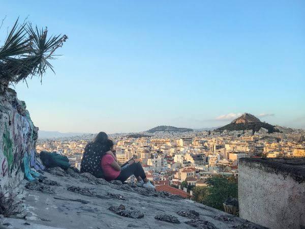
Lycabettus Hill is the highest point within the metropolitan area of Athens and one of the city’s most visited sites. It is 300 meters AMSL tall and makes for one of the best viewpoints of the Greek capital.
Numerous trails lead to its top from every side of the hill. Its slopes are mostly covered with pines, prickly pears, and charming agaves. On the narrow, flat, paved area on the top, you find a small church and a restaurant. The top is crowded with people all year round and at all times of the day. If you choose to climb it for sunset, as many tourists typically do, expect to hardly be able to stand up there. If you are an early riser, sunrise is a much better option.
The most common ascent route starts from Dexamenis Square in Kolonaki neighborhood. A bus stop is located right at the trailhead where you can reach by bus 060. The closest you can get by metro is Syntagma whence you have to walk for some 15-20 minutes to the trailhead. From the trailhead to the top, it should take you anywhere between 15 and 60 minutes depending on your fitness.
One may also reach the top of Lycabettus Hill by either cable car or driving.
More on Mount Lycabettus:
Mount Lycabettus: the Complete Guide to the Best Viewpoint of Athens
Philopappos Hill and Pnyx
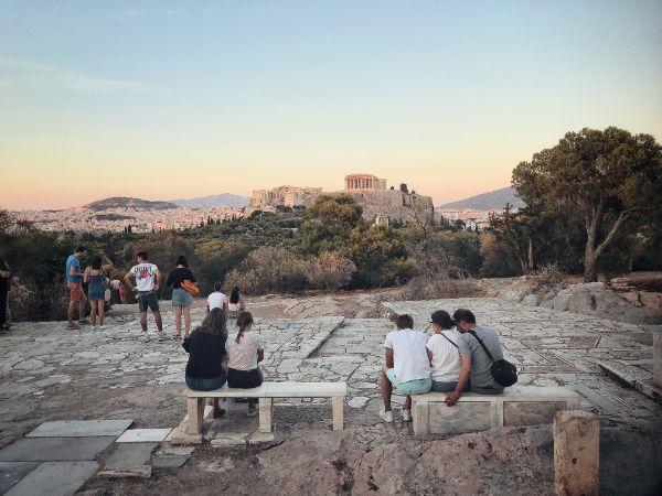
Philopappos and Pnyx are two adjacent hills located right southwest of the Acropolis. The complex of the two hills constitutes the largest forested area within the municipality of Athens. This place is absolutely ideal for having a pleasant, short hike when the time to venture out of the city is not at hand.
There are a great many trails spanning the lush slopes of the hills. The park can be reached within a 10-minute walk from Thissio, Acropolis, Sygrou-Fix, and Petralona metro stations.
The views from the higher levels of the hills are stunning. Especially for viewing the Acropolis, the top of Philopappos Hill is probably the best spot to be found in the whole of Athens.
Other than enjoying the serenity of the natural environs and the views, here you may also visit several interesting monuments such as the Philopappos Monument, the ancient Athenian democracy assembly ground of Pnyx, the Prison of Socrates, the Tombs of Kimon, and the ancient Koili Street.
More on Philopappos and Pnyx:
Philopappos Hill: A good hike in the heart of Athens
Pnyx Hill in Athens: the Cradle of Democracy
Hiking around Athens
For some serious hiking now, one must venture out of the metropolitan area of Athens. Fortunately, this doesn’t need to be farther than the very verge of the city. The periphery of Athens is actually defined by five high and relatively wild mountains. All of them host a plethora of beautiful trails for one to enjoy a nice day walking out in nature. It is fairly easy to reach all these mountains for a day hiking trip from Athens, even by public transport.
Mount Parnitha

Mount Parnitha is the highest of the mountains encircling Athens, as well as the most pristine. Despite a massive wildfire that ravaged the mountain in 2007, most of it is still covered by dense fir forests. It is especially known as one of the last habitats of the red deer in Greece.
Mount Parnitha National Park comprises a rather huge area where possibilities for hiking routes are virtually limitless. For the purpose of a day trip from Athens without having your own vehicle, the most practical approach would be to get to Thrakomakedones village by public transport and get on one of the many trails starting from there.
For more information and more pictures, check out this extensive post:
Mount Hymettus
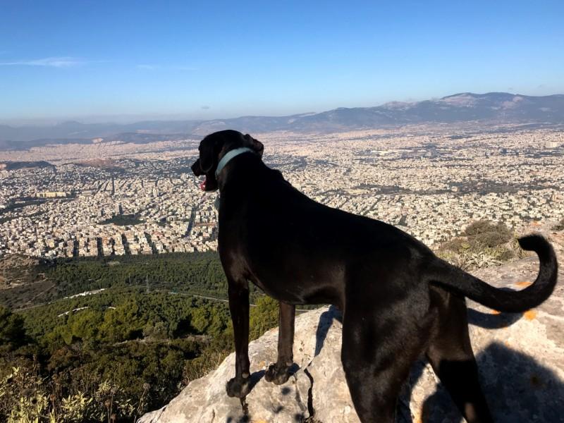
Mount Hymettus is the 3rd highest of the mountains around Athens and the closest one to the city center. It is a long mountain extending along the entire eastern side of Athens. Unlike on Mount Parnitha, forests on Mount Hymettus are sparse and its slopes are mostly covered by scrub.
Here too, there is an overabundance of nice hiking routes you could do. Aside from marveling the unparalleled views of Athens, there are plenty of caves, monasteries, old churches, and other points of interest for you to visit. An easy and good choice is to go for Kesariani-Vyronas Forest (also known as Hymettus Aesthetic Forest), situated on the west foot of the mountain. You catch a bus to Kesariani or Zografou districts whence you proceed on foot.
Another great option is to hike along the mountain ridge. You can check out the following post which contains a trip report of one of my own hikes along the ridge of the mountain, as well as more information and pictures:
Mount Penteli
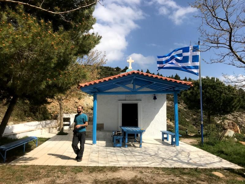
Mount Penteli is the 2nd highest of Athens’ mountains. It is situated northeast of Athens, between Parnitha and Hymettus. The slopes of the mountain are highly covered by forests. Its summit is the most prominent of all the mountains surrounding Athens, though access to it is prohibited as a military base occupies the site. The mountain is especially renown for its quarries which supplied the famous Pentelic marble of which much of ancient Athens was constructed.
There is a plentitude of unfrequented hiking trails for one to explore Mount Penteli. From its higher levels, you may wonder at some astounding views of Athens and the South Euboic Gulf to the east. Many specific points of interest can be visited, like caves, churches, waterfalls, and, of course, the ancient quarry.
The closest approach to the mountain is the homonymous town of Penteli in the northeastern outskirts of Athens.
Here is the report of one of my own hiking trips to Mount Penteli with more info and pictures:
Mount Aigaleo
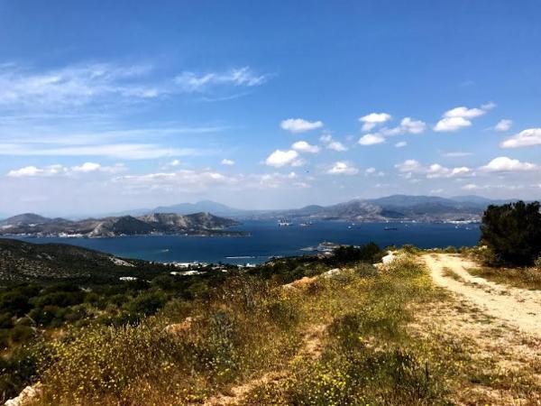
Mount Aigaleo is a much lower mountain than the previous three ones located off the western verge of Athens. Its great vicinity to the city center makes it an ideal destination for a short hiking trip. From its top, you may enjoy some splendid views of Athens, its coast, and the Gulf of Salamis. Due to the latter, it was chosen by Persian King Xerxis as the site he settled to attend the famous naval battle that took place in the gulf in 480 BC.
Hiking trails up the mountain begin from all southwestern neighborhoods of Athens which lie by its foot. Check the following post for more info and pictures:
Mount Poikilo
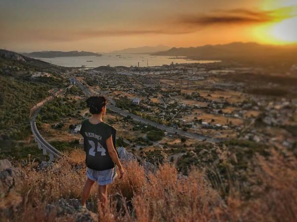
Mount Poikilo is the lowest of Athens’ surrounding mountains. It is situated northwest of the city, right to the north of Mount Aigaleo, of which it is an extension. Hikers will enjoy some amazing views of Athens and the Thriasian Plain from here.
The mountain is most easily accessible from the town of Petropouli, located west of Athens downtown. Check out the following post for more info and pictures:
Hiking near Athens
The preceding five mountains are the closest to the city of Athens, which you can easily reach in one day by public transport. Given that you have your own vehicle, now, there is a great multitude of wild mountains you can reach for a hiking trip within a day from Athens. Here are just a few of your best choices.
Mount Cithaeron
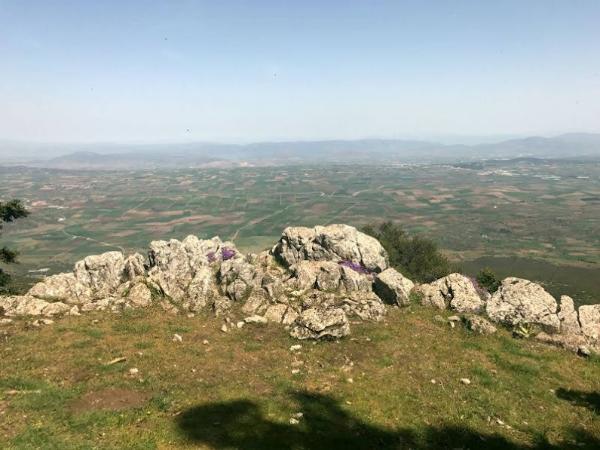
Mount Cithaeron is a 1,409-meter-tall mountain located some 50 km northwest of Athens, right on the boundaries between Attica and Boeotia prefectures. Some of the most epical views of Attica, the Boeotian Plain, and the Corinthian Gulf can be relished from its serene slopes. Common access points to hiking trails leading up the mountain are the villages of Erythres, Platees, Vilia, and Agios Nektarios.
Geraneia Mountains
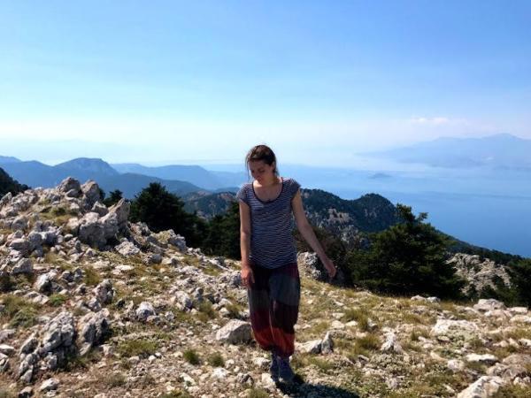
Geraneia Mountains is a small mountain range at the westernmost end of Attica on its border with Corinthia. This is a particularly wild, scarcely visited mountain, in comparison with most of the mountains in Athens’ vicinity. Another thing adding to its uniqueness is that it lies within a 10-km-wide strip of land between two separate seas, and right at the point where Peloponnese converges with central Greece. A number of gorgeous, remote beaches are also to be found along its northern foot. The easiest access to its peak is a trail beginning from the village of Sparta, along the way from Megara to Egirouses.
Mount Helicon
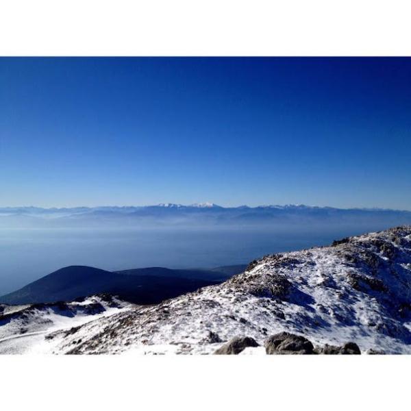
Mount Helicon is situated in western Boeotia, within a 2-hour drive from Athens. It was especially celebrated in Greek mythology as one of the country’s most sacred mountains where the Muses were thought to dwell. You can, sure enough, feel their presence while hiking through the mountain’s deep, alluring fir forests.
Evia Island
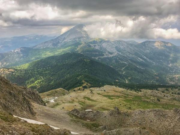
As Evia is my home island, which I totally adore, I couldn’t omit it from this post. You can easily reach the island within an hour from Athens by either driving over the bridge to its capital city: Chalkis; or catching a ferry from Oropos or Agia Marina ports. Once there, the island’s vast, charming wilderness is all yours to explore. Following are some posts I have on various of my own hiking trips on Evia to get you inspired.
- Hiking Mount Xerovouni on Evia Island
- Climbing Mount Dirfys from the North Side
- Hiking to the top of Mount Ochi and its Mysterious Dragon House
- Hiking Mount Pyxarias on Evia Island
- Hiking Mount Olympus on Evia Island
- Drymonas Waterfalls and Mount Xiron (Xiron Oros) on North Evia
Accommodation and Activities in Athens
Stay22 is a handy tool that lets you search for and compare stays and experiences across multiple platforms on the same neat, interactive map. Hover over the listings to see the details. Click on the top-right settings icon to adjust your preferences; switch between hotels, experiences, or restaurants; and activate clever map overlays displaying information like transit lines or concentrations of sights. Click on the Show List button for the listings to appear in a list format. Booking via this map, I will be earning a small cut of the platform's profit without you being charged any extra penny. You will be thus greatly helping me to maintain and keep enriching this website. Thanks!
