Part of the greater Pindus Mountain Range—the rugged spine of the Greek mainland—Mount Grammos (spelled Grammoz in Albanian) is an imposing mountain whose ridge defines part of the Greek-Albanian border. Its highest peak, called Maja e Çukapeçit in Albania and Tsouka Petsik in Greece, rises to 2,523 meters, making it the 10th-highest mountain in Albania and the 4th-highest in Greece.
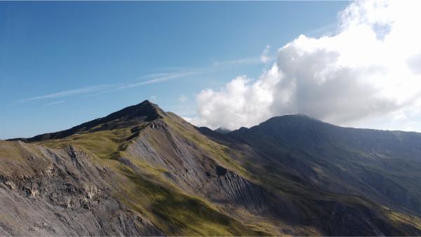
Grammos is very remote, surrounded by an endless series of massifs in each direction, comprising extensive virgin forests at its lower slopes, and hosting diverse wildlife, including bears and wolves. It is the source of Greece’s longest river, the Haliacmon. Grammos also holds historical significance as the concluding theater of the late-1940s Greek Civil War. Remnants of old battlefields and monuments scattered throughout the region offer a poignant glimpse into its tumultuous past.
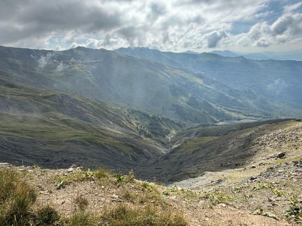
While touring northern Greece in July 2024, we set our sights on this majestic mountain. The summit of Grammos is accessible via several routes on both sides of the border. From the Greek side, the two shortest and most common approaches start from the homonymous village of Grammos to the peak’s northeast or Plikati village to the peak’s south. Both treks take 4–5 hours each way. The first offers the additional benefit of passing by Gistova, the highest alpine lake in Greece. On this occasion, we took the second route.
It was a long and lonely drive from Kastoria city in Western Macedonia. This was the most extensive wilderness I have ever witnessed in my home country. We encountered three cars during the three hours we meandered through Pindus’s chasmal gorges. The gloomy weather—rain on and off, water steaming as it evaporated almost instantly off the hot summer asphalt—made the trip all the more pensive. A couple of villages we drove past were charming but seemed abandoned. Shortly after one named Nea Kotyli, we stopped at a gorgeous viewpoint (location) where Grammos, Smolikas, and many massifs of Pindus lay before us.
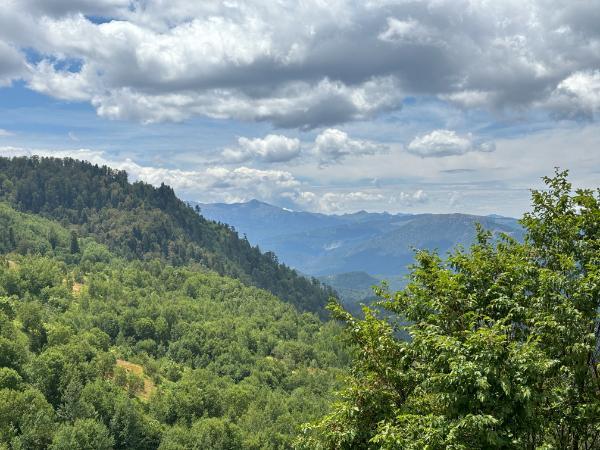
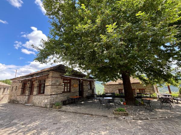
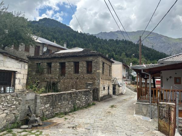
By afternoon, we took the small road heading toward Plikati through a series of beautiful stone villages. The first one, Pyrsogianni, had a working guest house and was relatively lively—half a dozen people were present at the small cafe of the central square. We stopped for a frappe and a stroll.
Past Plikati, the road continued for about a kilometer. This stretch was narrow and dangerous. On the way back the next day, a crazy drunk grandpa came barreling around a curve in a truck and nearly fell off the cliff to avoid crashing into us.
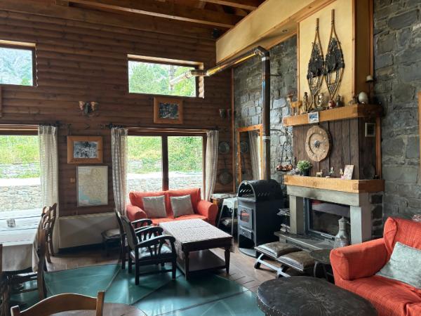
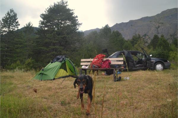
The road ended at a guest house called Grammos’s Wildflower, where the trail begins. We parked outside and entered. Only the owner couple was present, living solitarily in the middle of nowhere. We ordered the dish of the day, briam (mixed baked vegetables), and had a chat with them. The guy was a bit paranoid—boasting about keeping hand grenades in his cellar in case of an invasion and stuff—but they were both nice folks. The chalet was splendid and the guest cottages well-kept. We would have gladly stayed overnight there under different circumstances, but in this case, we pitched our tent by a bench a few yards from the entrance.
The property’s hound puppies quickly came to play. The hound parents followed to inspect and assert their sovereignty by pissing on our tent. We chilled in the serenity, cooked dinner, and crashed before tomorrow’s expedition.
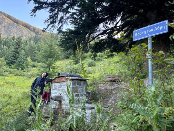
We intended to start in the dark, but we snoozed and set off with the first twilight at 6:30. The first part of the trail ran through thick, wet tall grass that thoroughly soaked our socks. The slope was mostly open, with sparse groves scattered around. After about 2 km, we passed a stone spring, the only guaranteed year-round water source en route. In early July, we also encountered one more brook a bit further up.
We continued through a captivating beech forest and then the open higher slope until we reached the ridge concurrently with the sunlight reaching us. An old shepherd’s shelter and a concrete border pillar stood there. From that point, we just had to follow the ridge all the way to the distant summit.
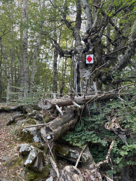
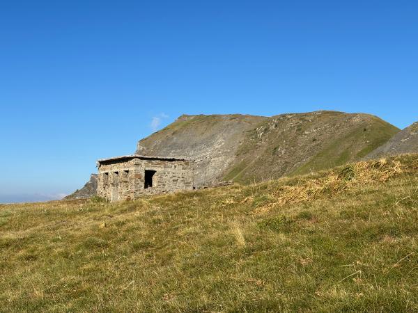
Grateful for the clouds that gradually accumulated and hid the fierce sunlight, in the company of alpine choughs (yellow-beaked mountain crows) flying around us, we proceeded with one foot in Greece and the other in Albania. Many large holes were dug along the ridge; possibly shepherds’ refuges, but most likely trenches from the Greek Civil War or Cold War fortifications. The trail went up and down a few more minor peaks. The last one, called Black Stone, was steep and required a fair bit of scrambling. It’s possible to bypass them by detouring over the smoother Albanian side. We did this on the way back.
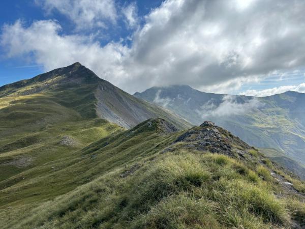
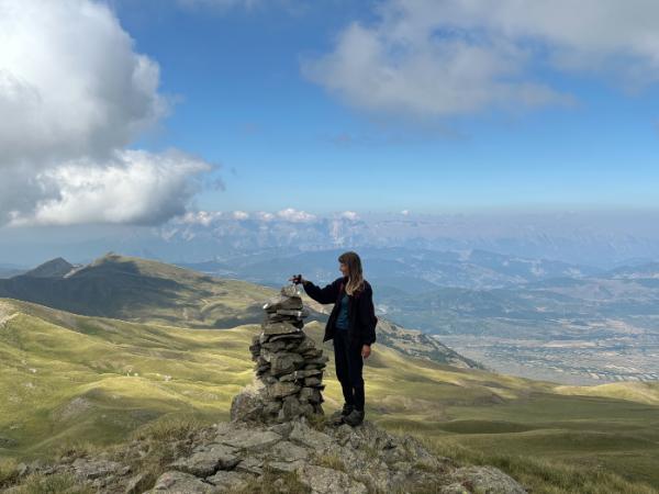
In a leisurely tempo with several breaks, it took us 4 hours and 40 minutes to complete the 14 km and 1,300 meters of ascent to the top of Mount Grammos. We didn’t see a soul, save for an Albanian shepherd barely discernible among his herd on a pasture far below. Relishing the outstanding view of boundless mountainous wilderness on both sides, we had our packed lunch—scooping beans out of the can with our fingers because we forgot the spoon—and then headed back down.
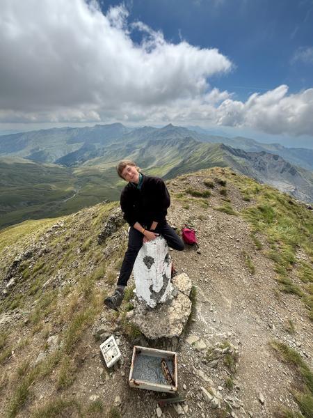
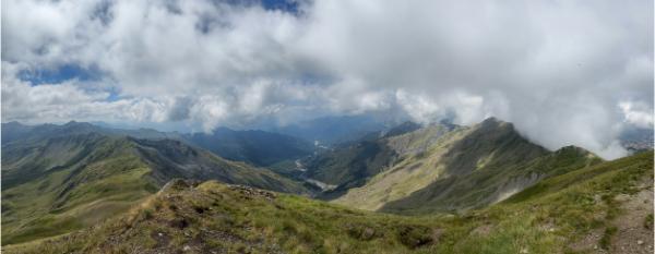
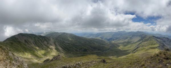
3.5 hours later, we were back at the car. We waited out the worst of the heat over coffee, and then drove straight to Mount Smolikas for our next adventure.
Accommodation and Activities in Greece
Stay22 is a handy tool that lets you search for and compare stays and experiences across multiple platforms on the same neat, interactive map. Hover over the listings to see the details. Click on the top-right settings icon to adjust your preferences; switch between hotels, experiences, or restaurants; and activate clever map overlays displaying information like transit lines or concentrations of sights. Click on the Show List button for the listings to appear in a list format. Booking via this map, I will be earning a small cut of the platform's profit without you being charged any extra penny. You will be thus greatly helping me to maintain and keep enriching this website. Thanks!
