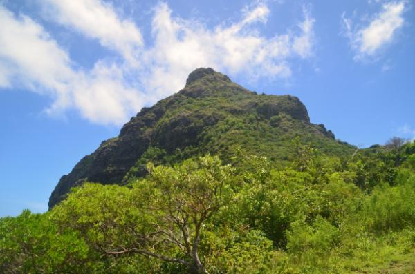
Le Morne Brabant is a peninsula occupying the southwesternmost tip of Mauritius. It is dominated by the eponymous Brabant Mountain: a massive basaltic rock towering for 556 meters over the dazzling turquoise waters of the lagoon surrounding the peninsula. Owing to its fantastic views and unique biodiversity, the site has become one of the most popular hiking destinations in the country. It also became our first target peak during our two-month stay in Mauritius in the winter of 2024.
Affiliation disclosure: By purchasing goods or services via the links contained in this post, I may be earning a small commission from the seller's profit, without you being charged any extra penny. You will be thus greatly helping me to maintain and keep enriching this website. Thanks!
Following is the trip report, wherein you will find practical information to carry out this trek on your own, without a guide. The route is overall short, straightforward, and easy for a reasonably experienced hiker. But bear in mind that it’s very steep and moderately technical at points; requiring scrambling and basic, grade-4 rock climbing abilities. If you’re unsure, it might be sensible to join an organized tour such as this:
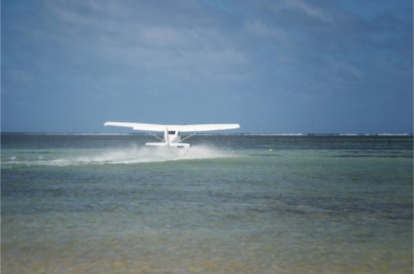
It’d have been wise to start at dawn to avoid the harsh midday sun. But we started rather late in the morning from our place in Mahebourg. Following a 2-hour ride on our motorbike—particularly scenic during the latter half along the island’s southern coast—we arrived in the village of Le Morne by 11 am. We made a stop to walk on the beach and marvel at the south view of the imposing rock. Two tourist hydroplanes happened to take off at the moment and offered an interesting spectacle. That, too, would be a nice experience to try and isn’t as expensive as you would expect.
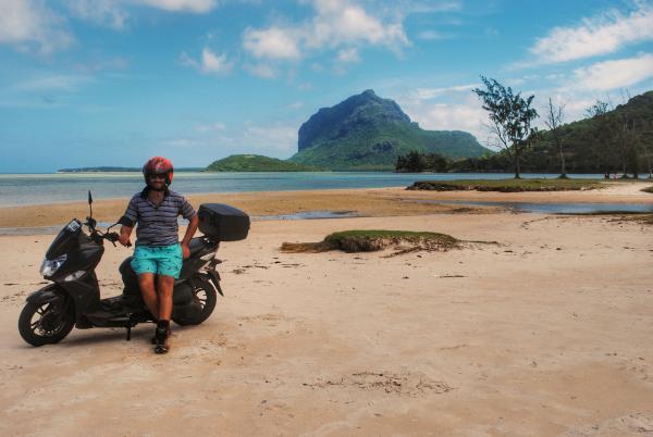
We then proceeded toward the mountain foot. While it’s also possible to reach the mountaintop from the north, the common approach goes from the south. The trailhead is situated here. You drive 1 km on a dirt road off the main road to reach it. The dirt road was full of mud and ponds due to recent storms. Several smaller cars of visitors who wouldn’t attempt the drive were parked on the side along its length. We tackled it fine on our scooter.
A security guard was present at the national park’s entrance. Quite redundantly (there was no lack of space), he pointed out where to park our bike. According to the map, there should have also been a museum on the spot. I didn’t see such a thing, but I might’ve been a little sleepy still. We went past the gate, which was to close at 14:30 for new hike starts. We didn’t pay any entrance fee but were only asked to fill in our details in a log book. And at 11:30, we began striding upward.
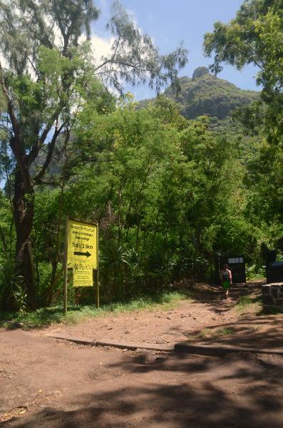
The first part ran along a narrow, rocky track that winded up the smoother lower slope. It had concrete wheel guides laid at the steepest points and was used by a pickup truck that carried down rubbish from the bins installed further up (good maintenance). The track led us to the southern viewpoint (coordinates: -20.4562, 57.3278) where we had a break to enjoy the wondrous vista of the side we had just come from.
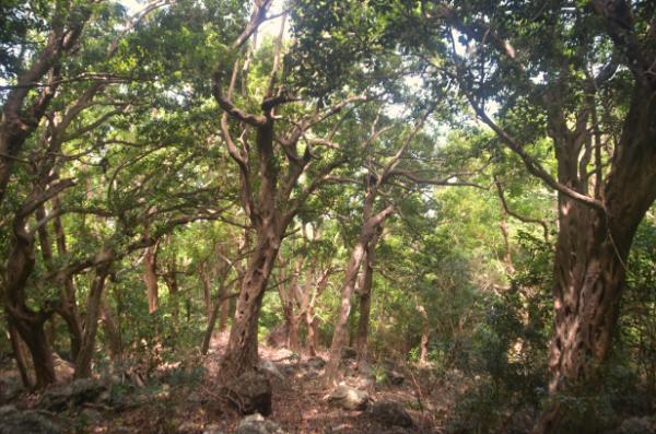
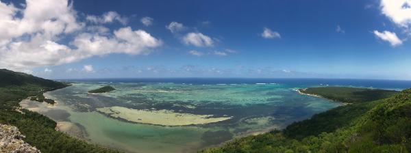
We then continued along the trail over the northern side of the mountain. Right upon the ridge, we reached a junction (coordinates: -20.4520, 57.3289) where a couple of shaded benches lay. One trail headed toward a northern viewpoint, another down the northern slope, and yet another toward the top. We took the latter and the fun started.
The route up was near-vertical at times and hands had to be in constant use. At the steepest parts, there were bolts fixed on the rock (apparently for guides to secure their less-experienced clients). But as I already said, if you have at least elementary climbing experience, you don’t need any gear to climb. Soon enough, we completed the 3.5 km from the gate and stepped on the peak of the Morne Cross a bit after 1 pm.
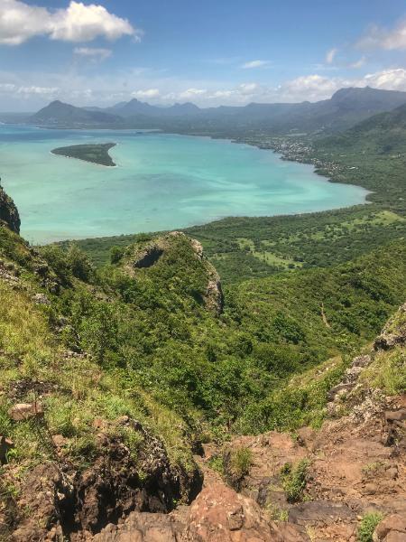
This was a spontaneous, casual trip with zero prior research. We had intuitively expected a much smoother hike. That’s why Sophie hadn’t bothered to bring along her trekking boots. Because she was also wary of destroying her sandals on the rocky trails, she climbed the entire mountain barefoot. So it took us significantly longer than it would have otherwise. You should expect to do it in about an hour if you’re strong; and up to two hours if you’re of average fitness.
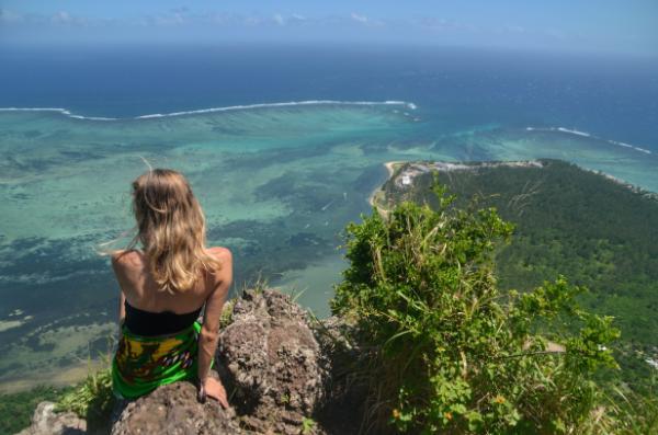
The Morne Cross isn’t the actual summit of Morne Brabant—which is located a little further west—but it is the highest point you can reach easily. From what I observed, climbing gear and plenty of time would be imperative to traverse the deep chasms and boulders between the cross and the summit.
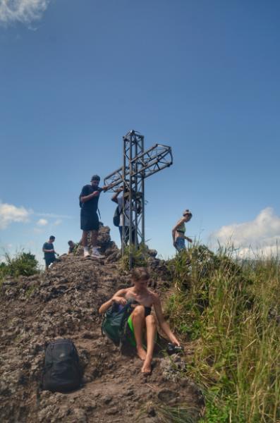
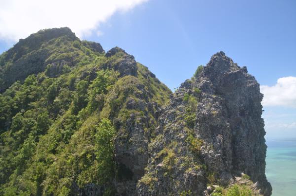
Anyhow, the view from Morne Cross is outright stunning. Below perpendicular cliffs and lush slopes, spread the variegated lagoon, dotted with vibrant kites of kitesurfers, before giving out to the Indian Ocean’s ultramarine beyond the white line of breaking waves. After taking all this beauty in, we headed back down the same way.
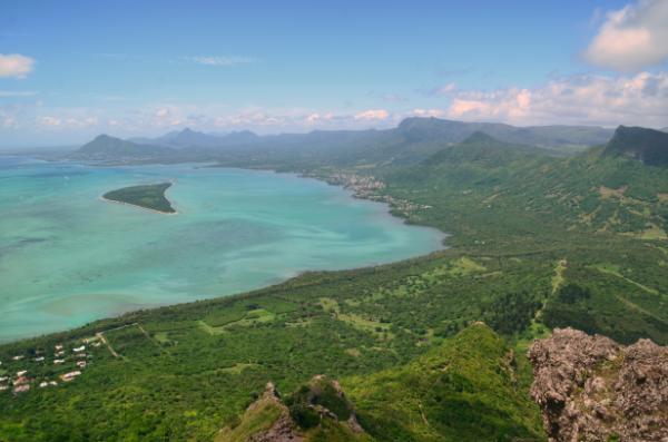
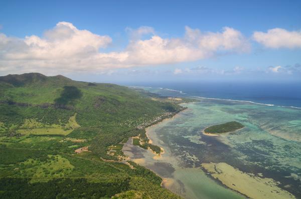
It’s also noteworthy that the trail was extremely crowded. We encountered a group at least every five minutes, albeit we did the hike off tourist season and later in the day. If you appreciate unspoiled wilderness, you might enjoy more the Lion Mountain, which was the target of our second expedition in Mauritius. And if you’re looking for an even more adventurous climb, check out Pieter Both.
Video
Photos
View (and if you want use) all my photographs from Le Morne Brabant in higher resolution.
Accommodation and activities in Mauritius
Stay22 is a handy tool that lets you search for and compare stays and experiences across multiple platforms on the same neat, interactive map. Hover over the listings to see the details. Click on the top-right settings icon to adjust your preferences; switch between hotels, experiences, or restaurants; and activate clever map overlays displaying information like transit lines or concentrations of sights. Click on the Show List button for the listings to appear in a list format. Booking via this map, I will be earning a small cut of the platform's profit without you being charged any extra penny. You will be thus greatly helping me to maintain and keep enriching this website. Thanks!
