Having settled in Donsol village for a couple of days, and given that no whale sharks were viewed in weeks, there wasn’t much other to do than rent a scooter and go for a ride. There weren’t many directions to ride to, either: it was either east along the coast or north along the coast. In the morning we took the east direction towards Pilar. Apart from some nice views and a brutal cockfighting event we ran into by chance, there wasn’t much else of interest to see. In the afternoon we took the north direction towards the village of San Rafael.
It was a beautiful ride, mostly along the coast, with very little traffic and cordial locals constantly greeting us upon our passage. Towards the end of the ride, the road briefly left the coast and climbed up a lush hill, from the top of which we got the first glimpses of San Rafael down below. It took us some 25 minutes to drive the 15 km from Donsol to San Rafael. It was a tiny cute village with two main points of interest: the waterfalls and the beach.
San Rafael Waterfalls
At some point along the road (coordinates: 12.9670, 123.5087), you see a green sign directing to the village’s school and a narrow concrete path leaving off the main road to the right. That’s the way to the waterfall.
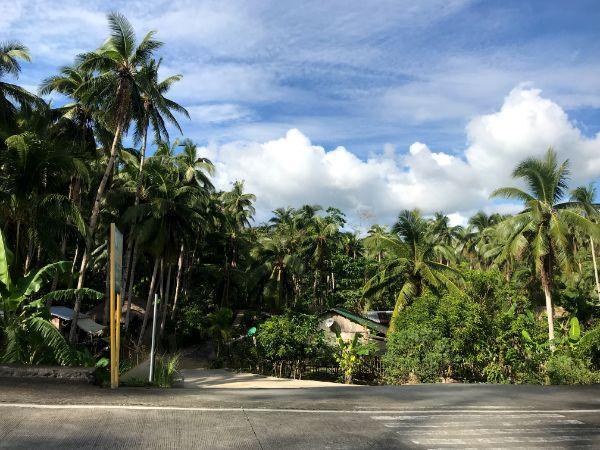
We managed to drive the first couple of hundred of meters until the school where we parked the bike. The kids were just leaving school and all greeted us excitedly with laughs and cheers. We proceeded on foot along the trail where we kept meeting more and more merry kids. One of them decided to join us up to the waterfall.
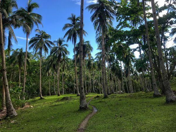
The trail to the waterfall is 1.5km from the main road and took about 30 minutes. The first part runs through the woods and then it continues through the riverbed. It is easy to follow and offers some very scenic images.
The waterfall itself was much taller than I expected: some 50 meters in a rough estimation. Very little water ran down during our visit in January but I’m sure it bulges up in wetter months. It forms a small pool at its foot, where one could theoretically have a dip, though its color wasn’t particularly inviting and we didn’t. The coordinates of the waterfall are: 12.9787, 123.5126.
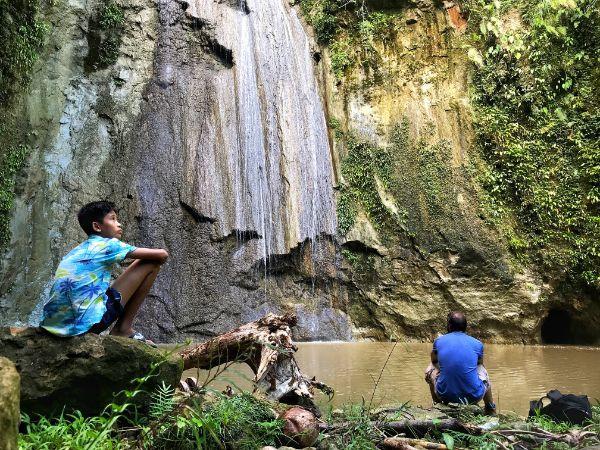
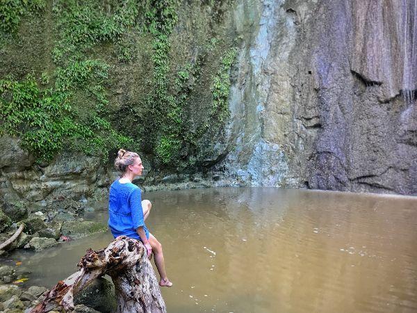
We spent there some time to enjoy the silvan serenity and take a few pictures, and back we headed the same way.
San Rafael Beach
On the same spot where the trail to the waterfalls begins, there goes off a path leading to San Rafael beach on the opposite side. We drove down for about a minute and parked the bike at the end of the track, where the heart of the village’s coastal portion is situated.
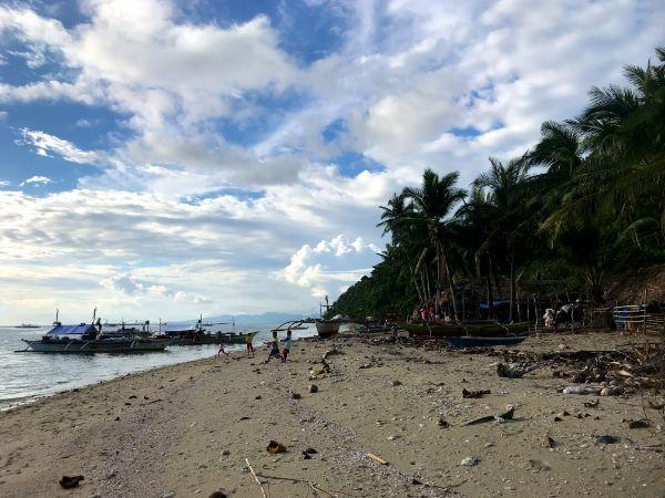
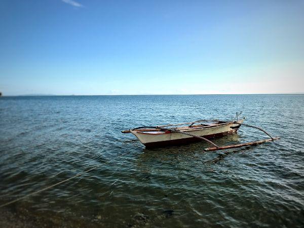
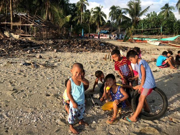
The villagers received us with surprise and delight, though somewhat shyly; apparently they aren’t that well accustomed to foreign visitors. All the kids of the village clustered together in a few groups here and there and surveyed us curiously as we walked down to the shore. It took them some time to find their courage, come closer, and get to play with us and exhibit their English skills.
We got to have a refreshing sunset dip. Nothing was especially great about the beach but the water was definitely cleaner and deeper than in Donsol.
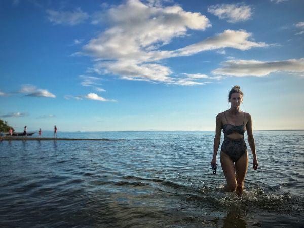
Dusk befell and we made back for Donsol. This trip to San Rafael was absolutely worth it.
Accommodation and Activities in The Philippines
Stay22 is a handy tool that lets you search for and compare stays and experiences across multiple platforms on the same neat, interactive map. Hover over the listings to see the details. Click on the top-right settings icon to adjust your preferences; switch between hotels, experiences, or restaurants; and activate clever map overlays displaying information like transit lines or concentrations of sights. Click on the Show List button for the listings to appear in a list format. Booking via this map, I will be earning a small cut of the platform's profit without you being charged any extra penny. You will be thus greatly helping me to maintain and keep enriching this website. Thanks!
