After the cloudy mood of the past few weeks, a more casual for Greece, brilliant day finally rose over the peninsula of Attica this morning. The bright sky in combination with the mild, November temperature made a perfect day to do some hiking. At 8 am, I met in Syntagma Square, downtown Athens, the folks from the Mountaineering Club of Athens. All 35 individuals who made up the team got on the hired bus and started driving out of the bustling city and towards the invigorating environment of the mountains. The target of this day’s trip was no other than Mount Hymettus.
Who’s ever been to Athens definitely knows what mountain I’m speaking about. Mount Hymettus is the 16km long-range extending from the Saronic Gulf to Aghia Paraskevi all along the east verge of Athens’ metropolitan area. The mountain’s highest point is known as Evzonas and reaches an elevation of 1.026 AMSL. There is an asphalt road leading all the way to the top, where a transmitter park and a military radar are located.
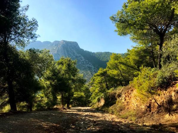
The mountain is also known as ‘Trellos’ (crazy) or ‘Trellovouno’ (crazy mountain). This naming originated from the misinterpretation of the French ‘très long’ (very long) which French travelers of the previous centuries often used to refer to the mountain.
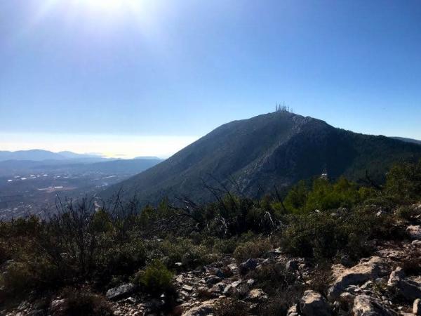
The slopes of Mount Hymettus are not particularly densely vegetated, but they host an astounding diversity of flora, with some 650 species. The mountain is also home to many animal species, like foxes, hedgehogs, ferrets, various reptiles, and birds.
There is a number of monasteries around the mountain. The most famous is the Monastery of Kaisariani, constructed in the 11th century AD on top of ruins of older, early Christian and Pagan worship sites. Other sights in the mountain include old towers and caves.
Due to its vicinity to the Greek capital city, Mount Hymettus is one of the Athenians’ favorite escape destinations. There is an extensive network of hiking and mountain-biking trails all around the mountain. And its foot is easily reached by public transport from the city center.

Back to this day’s trip… We started on the trail nr 10 which starts from the Monastery of Saint John the Hunter, at the range’s northmost end in Aghia Paraskevi (38.0027-238367). Red signs lead along the trail which runs smoothly up to the ridge.
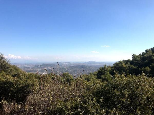
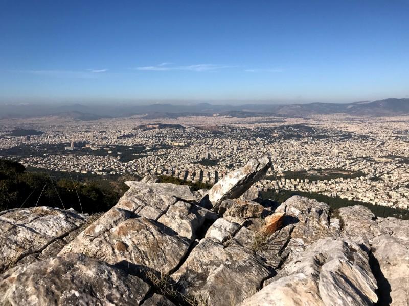
The views are stunning from the very beginning of the trail, whence the entire, massively populated basin of Athens is visible, begirded by Penteli, Parnitha, Poikilon, and Aigaleo: the rest of the high mountains defining the metropolitan area of Athens.
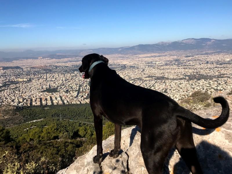
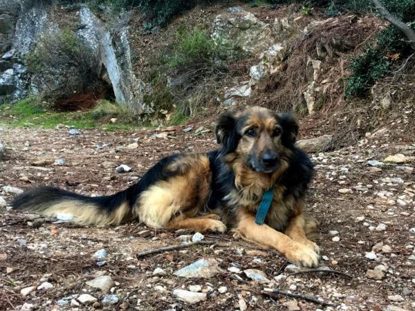
So we slowly and pleasantly moved to the south along the ridge for some 3km until we reached the 720 m peak known as Korakovouni (Crow Mountain) (37.9859-23.8258). Athens, the Saronic Gulf, and Geraneia Mountains to the distance are visible to the west; east Attica, the southern Gulf of Euboea, and Mount Ochi to the east. That’s, indeed, probably the very best view of Athens one can get from any place.
We plentifully enjoyed the place and down we headed again. We continued on trail nr. 10 until it reached the road, right on the col between Korakovouni and Evzonas peaks; and we got on trail nr. 5 which leaves right off from the curve of the road (37.9734-23.8209) and soon leads down the east side, in the town of Paiania. After this short, pleasant trip, by 1 o’clock pm, we’d reached the central street and were picked up by the bus to be conveyed back to the busy city.
Check out this page for more ideas about hiking near Athens or this one for hiking throughout Greece.
Accommodation and Activities in Greece
Stay22 is a handy tool that lets you search for and compare stays and experiences across multiple platforms on the same neat, interactive map. Hover over the listings to see the details. Click on the top-right settings icon to adjust your preferences; switch between hotels, experiences, or restaurants; and activate clever map overlays displaying information like transit lines or concentrations of sights. Click on the Show List button for the listings to appear in a list format. Booking via this map, I will be earning a small cut of the platform's profit without you being charged any extra penny. You will be thus greatly helping me to maintain and keep enriching this website. Thanks!
